Volcanic Snow & Ice
Climb
The North Island of New Zealand has multiple striking volcanoes that rise far above all other land, which sit in a central band on the island.
Several volcanic cones may be seen in the central North Island. These are composite cones, and typical layers of lava and pyroclastic material can be seen on the eroded flank of Tongariro. The cones occur singly, as in Taranaki, or in multiples, as in Ruapehu and Tongariro. Ngauruhoe is regarded as a vent of the Tongariro complex. There are multiple other smaller volcanoes that are satellite vents of Ruapehu and Taranaki. There are several craters on the Tongariro complex. These are steep-sided depressions, the result of explosive volcanism.
The mountains are exposed to wind from all directions.
The mountains are prone to bad weather as there’s no surrounding mountains to protect them. So they cop a load of wind and weather can change very quickly.
Ruapehu
The mountains and volcanoes of Tongariro National Park and the central plateau are renowned for their ferocious weather.
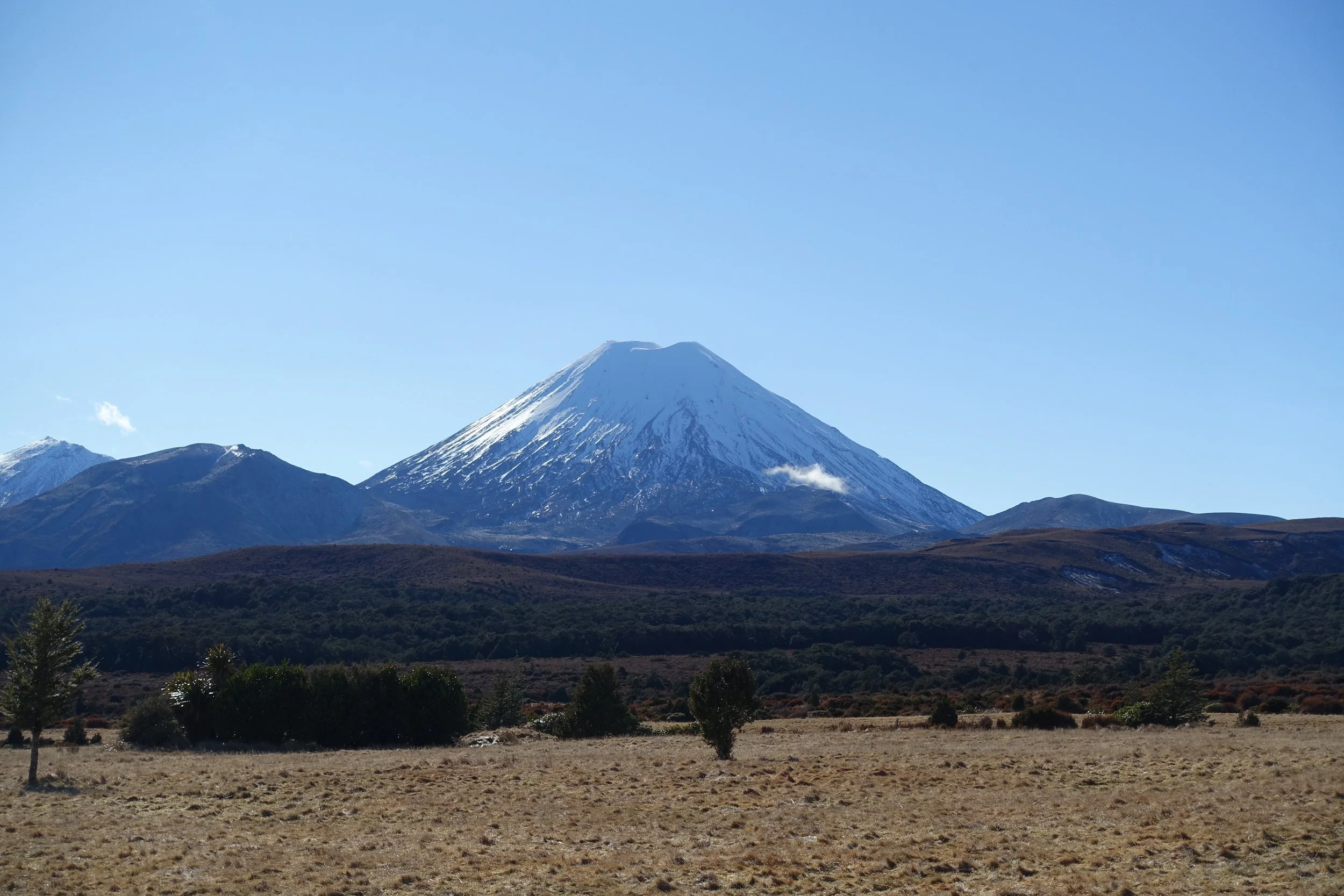
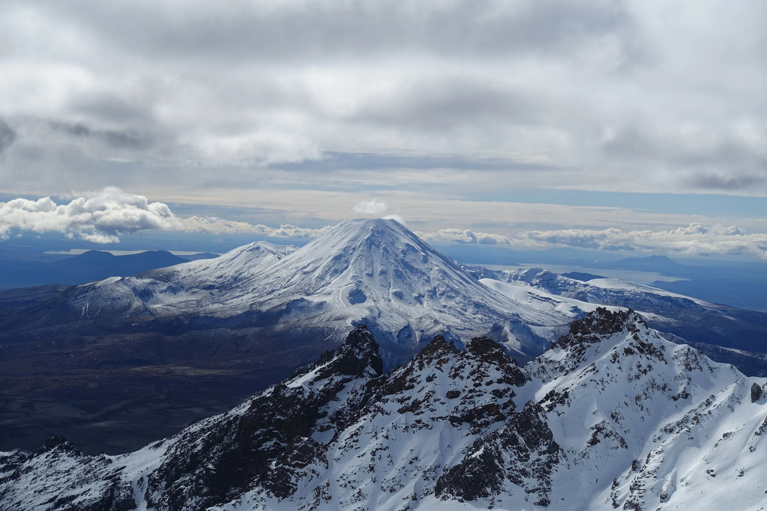
The three mighty volcanoes of Ruapehu (2797m), Ngauruhoe (2287m) and Tongariro (1967m).
The massif of Ruapehu is a stunning volcano that dominates the central plateau of the North Island and marks the highest point of the island. The mountain is very much alive having had eruptions as recently as 1995 and 1996.
There are many adventure climbing opportunity across the vast cliffs, bluffs and escarpments within Tongariro National Park, where the glaciers have carves varied and interesting terrain. This does also mean there’s plenty of terrain traps.
The three andesitic volcanoes at the heart of the Tongariro National Park, the mountains Tongariro, Ngauruhoe and Ruapehu, form the southern limits of the Taupō Volcanic Zone, part of the Pacific Ring of Fire.
Mt Ruapehu is the highest point in the North Island and near its summit has a deep crater containing a hot acidic lake approximately 100 m deep and 600 m across, and changes colour from deep green to pale blue to dark grey.
Ruapehu dominates the North Island’s central plateau. Its great bulk is visible in the distance across much of the North Island and on a clear day, the mountain can even be seen from the South Island. Remember that you are on an active volcano and this does pose a realistic risk of eruption.
——
Rising from the Central Plateau, Mt Ruapehu is the North Island's tallest mountain. If you've flown over the region, you've seen it, a perfect snow-tipped cone, built up over millennia by successive layers of lava and ash. Home to two commercial ski fields, Whakapapa and Türoa Ski Area, it's also the centre of the North Island snowsports scene, which is known for two things: volcanic landforms and otherworldly views. Whakapapa is the larger of the two.
—-
Ruapehu is subject to ‘rime’ ice, caused by wet, freezing winds coming in from the ocean and the fact that it’s a mountain sticking up in the middle of nowhere.
Ruapehu has the Summit Plateau, the extensive glacial ice field at the top.
——
Mt Ngauruhoe is a classic cone shaped volcano of near perfect symmetry. It sits in a spectacular position besides its cousins Ruapehu and Tongariro. In winter it tends to holds snow well and makes for a wonderful, single day, back country ski tour. The slopes tend to hold some beautiful corn snow later in to the season. In mid winter you can expect some wind affected snow, and at times, Mount Ngauruhoe can be quite icy. The volcanoes are very exposed to the elements and can be wind blasted in inclement conditions. So makes sure you pick you weather window well as there is no shelter up there. Conversely, in spring the solar radiation is intense.
——
Mt Ruapehu is a big mountain, never to be underestimated. The conditions can be icy, navigation can be challenging and cliffs abound. But if approached with the right skills and equipment, it can give you some of the best skiing of your life. Spring is ideal when the surface softens in the afternoons to give glorious corn snow.
Taranaki
Taranaki, in Mount Egmont National Park, is the youngest volcano.
A solitary peak on the North Island's west coast, the mountain dominates the landscape. Its graceful shape and visibility have made it one of New Zealand's most photographed and painted mountains. That attraction and the ease of access to this lone alpine peak have probably made it New Zealand's most climbed mountain.
Taranaki's (AKA The ‘Naki) volcanic terrain is responsible for the the areas black sand beaches
Offers atmosphere, steep slopes and an exciting outing. Keep an eye on the weather and your wits about you. On paper in mountaineering terms it may not seem like much, but claims many lives.
The mountain is 2518 metres high and one of the most symmetrical volcanic cones in the world and stands tall at the heart of Egmont National Park. In clear weather, from anywhere in the region, you cannot miss it.
Terrain is exposed so changeable and often icy, but are excellent in spring and early summer.
28 Oct 2026
Over the last three winters I’ve made around eight weekend missions up to the volcanoes. These have progressed in difficulty as I’ve built confidence and skills.
Another seven trips were booked in but cancelled last minute due to bad weather / I’ve been denied passage three times, usually due to wind, but also avalanche risk.
In winter 2025 I completed the Snowcraft 1/Basic course with the New Zealand Alpine Club Wellington Section, and spent a few days getting familiar with the mountains and local conditions in these unusual environments. Based out of Manawatu Tramping and Skiing Club lodge, led by Don, we explored locally and headed up Dome Peak to practice skills.
I hoped to complete several ALP1 graded routes but all were cancelled due to adverse weather.
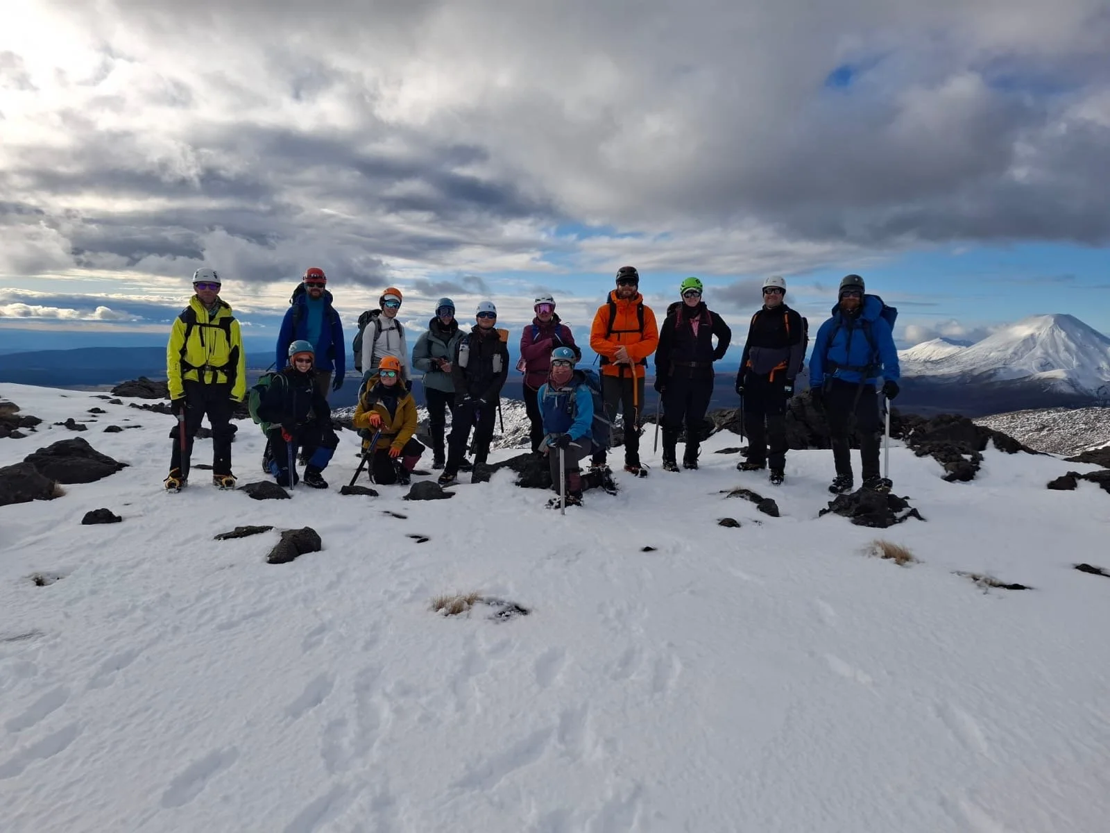
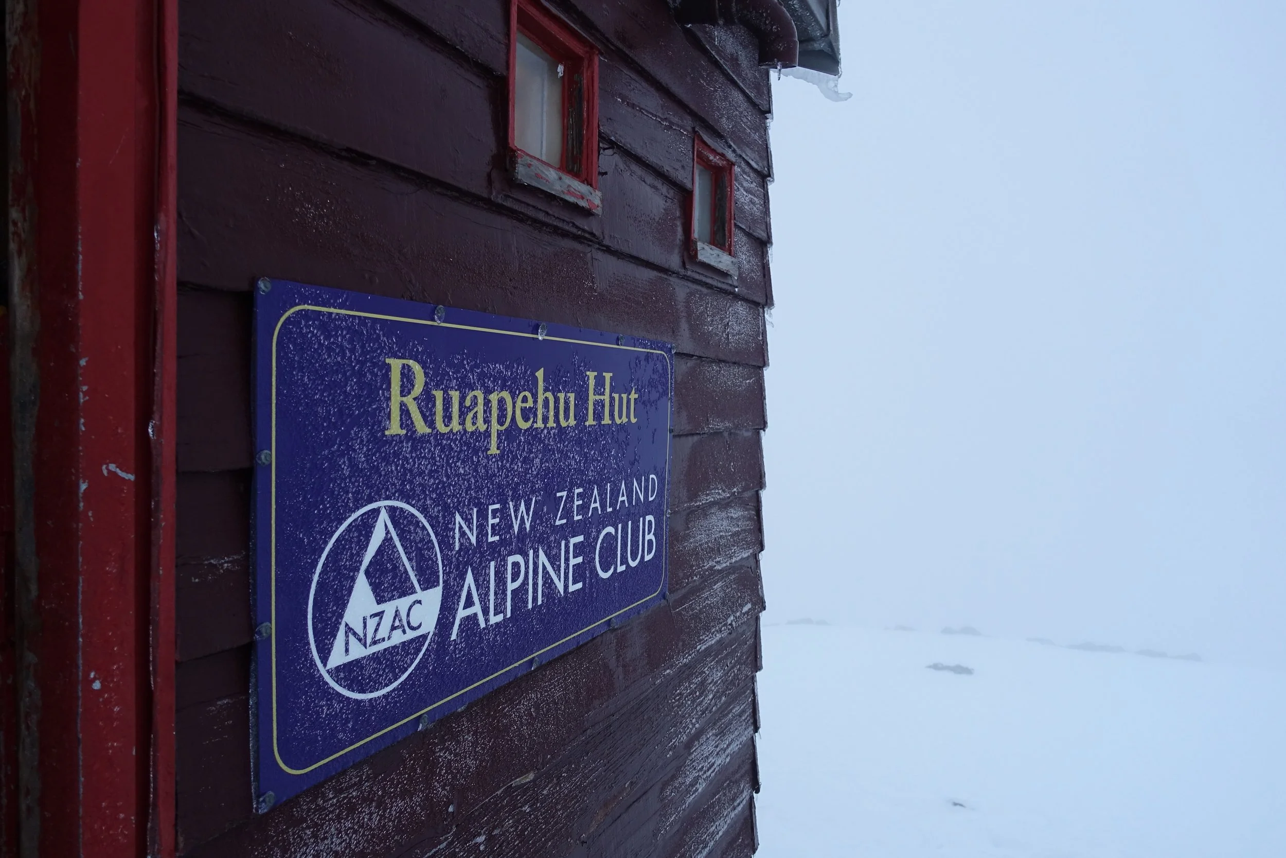
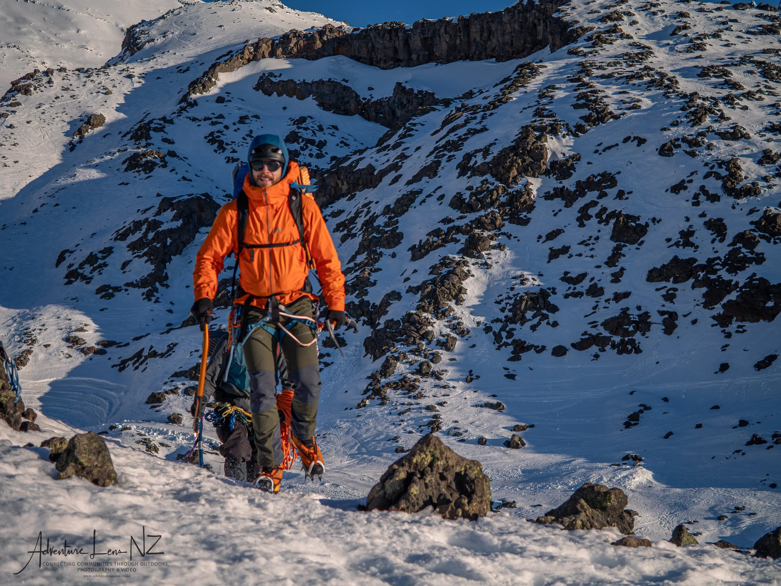
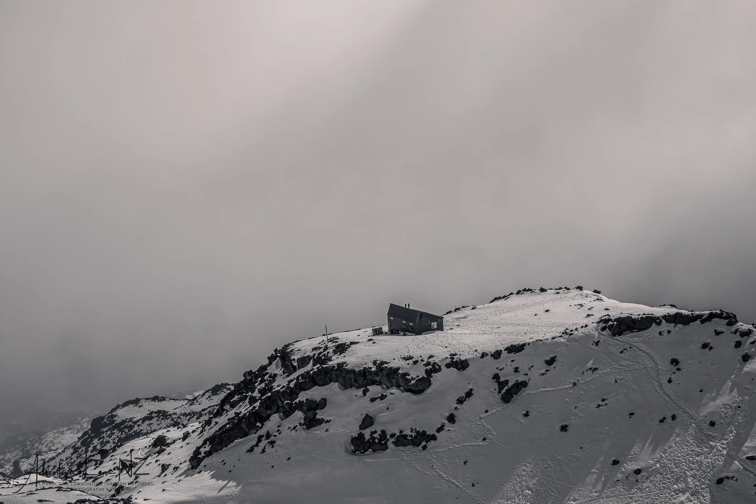
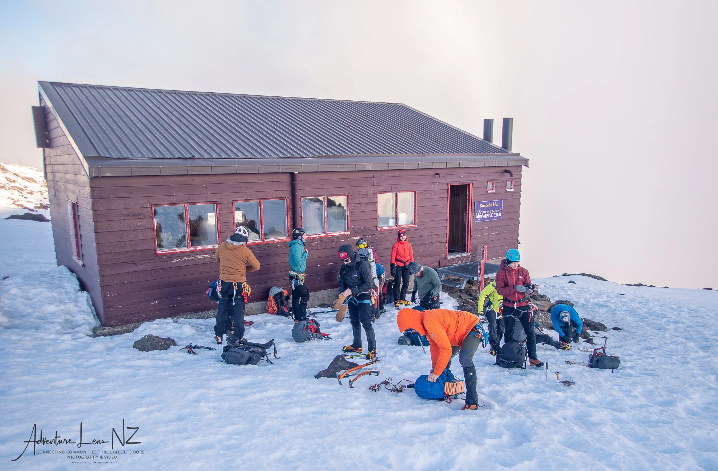
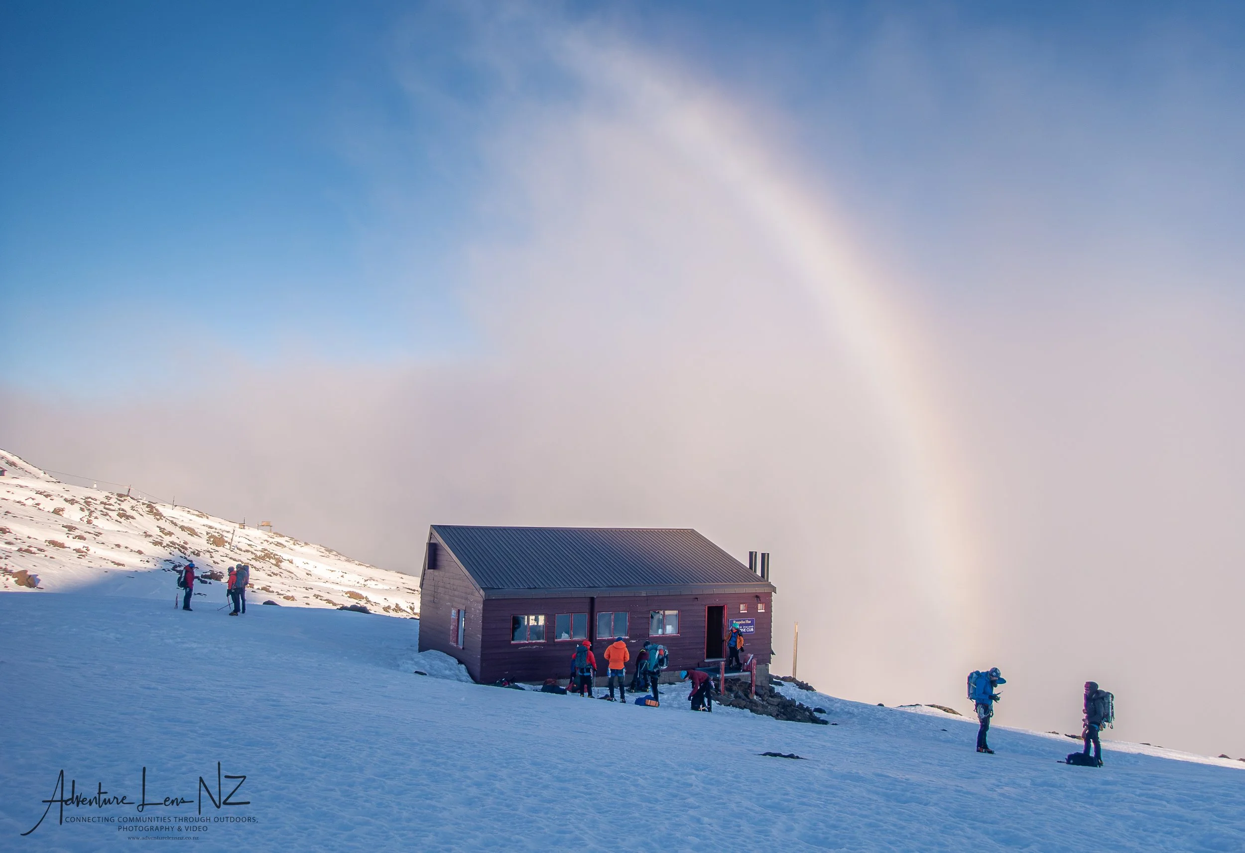
I then returned to Ruapehu a year later for the Snowcraft 2/Intermediate course. Based out of the NZAC Ruapehu hut, we had three days of practicing building anchors and climbing more technical terrain. This was led by Andy Thompson.
I then also managed to get some of the ALP1 trips in that I originally wanted last winter, and also pushed for an ALP2 graded mission, adding more complexity to terrain which in terms requires more skill and advanced reading on conditions.
This was based out of two lodges, higher and with less facilities.
Then this last winter I have been aiming for more ALP2 and ALP2+ missions.
Below is a collection of climbing routes on the volcanoes and surrounding areas.
My plans here was to spend time in a changeable, challenging environment and develop mountaineering skills to enable me to push my skiing further into ski mountaineering realms.
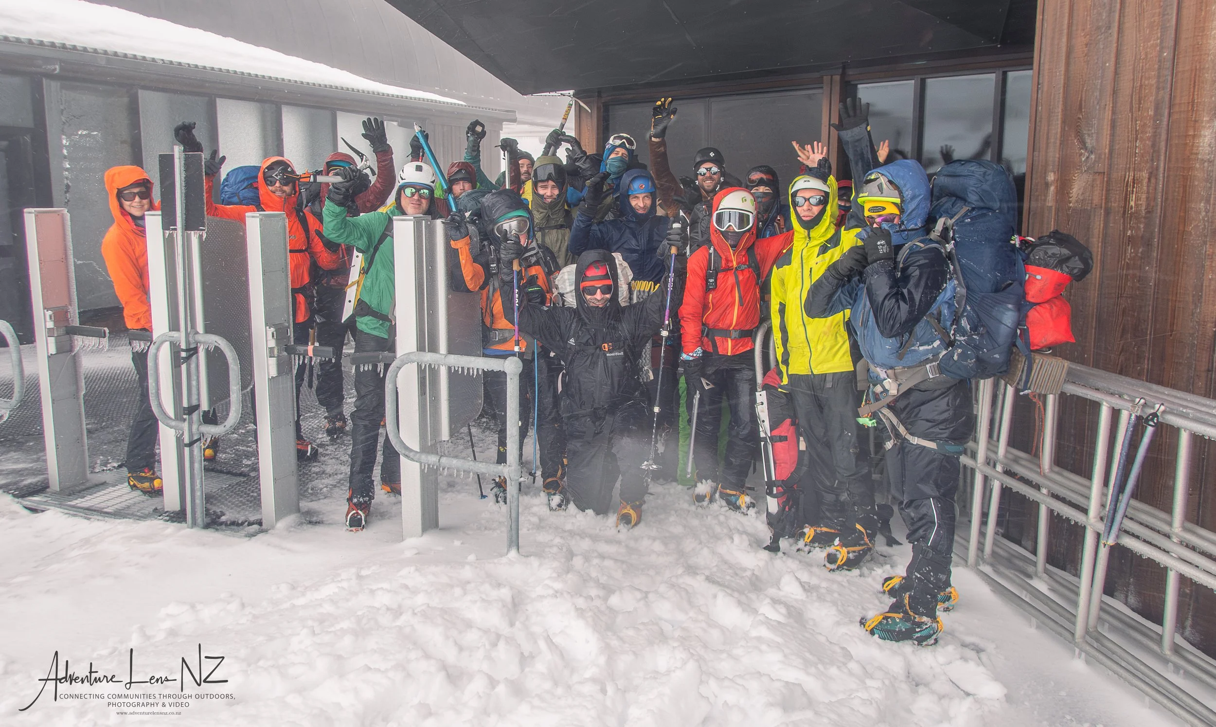
Andy’s photos
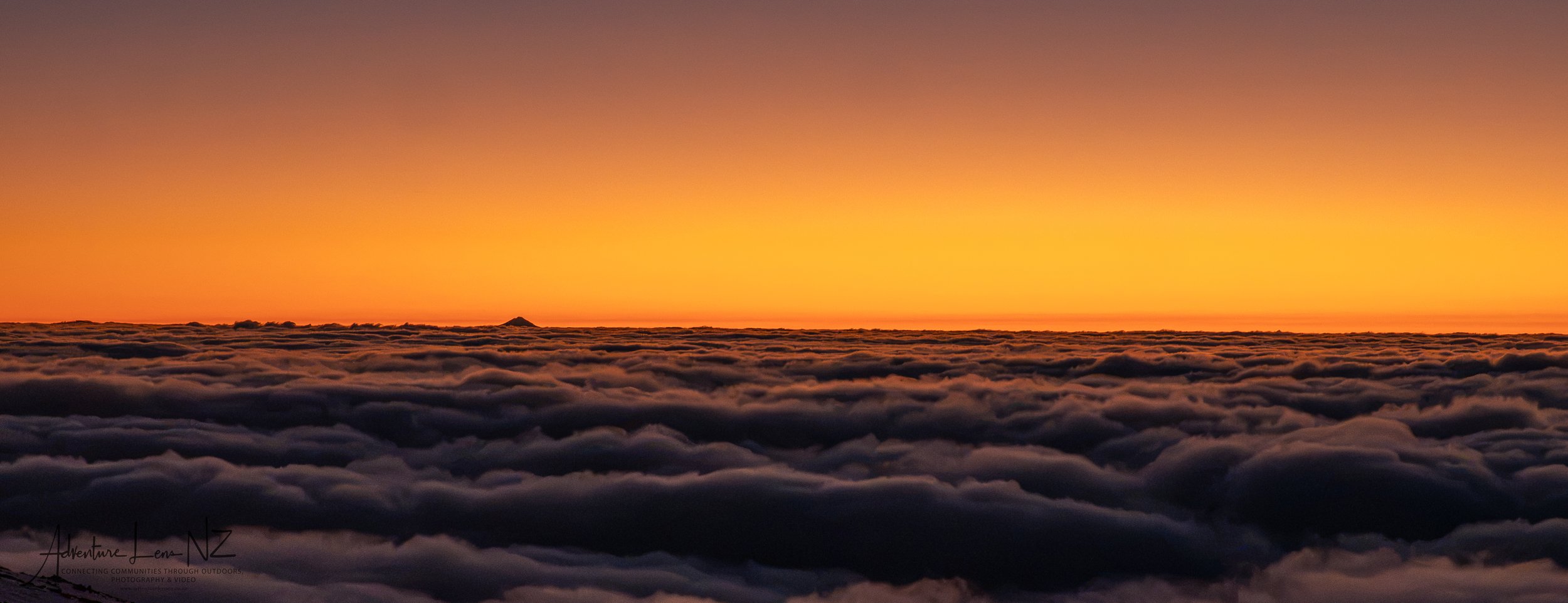
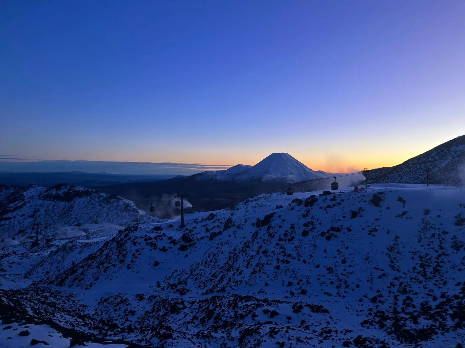
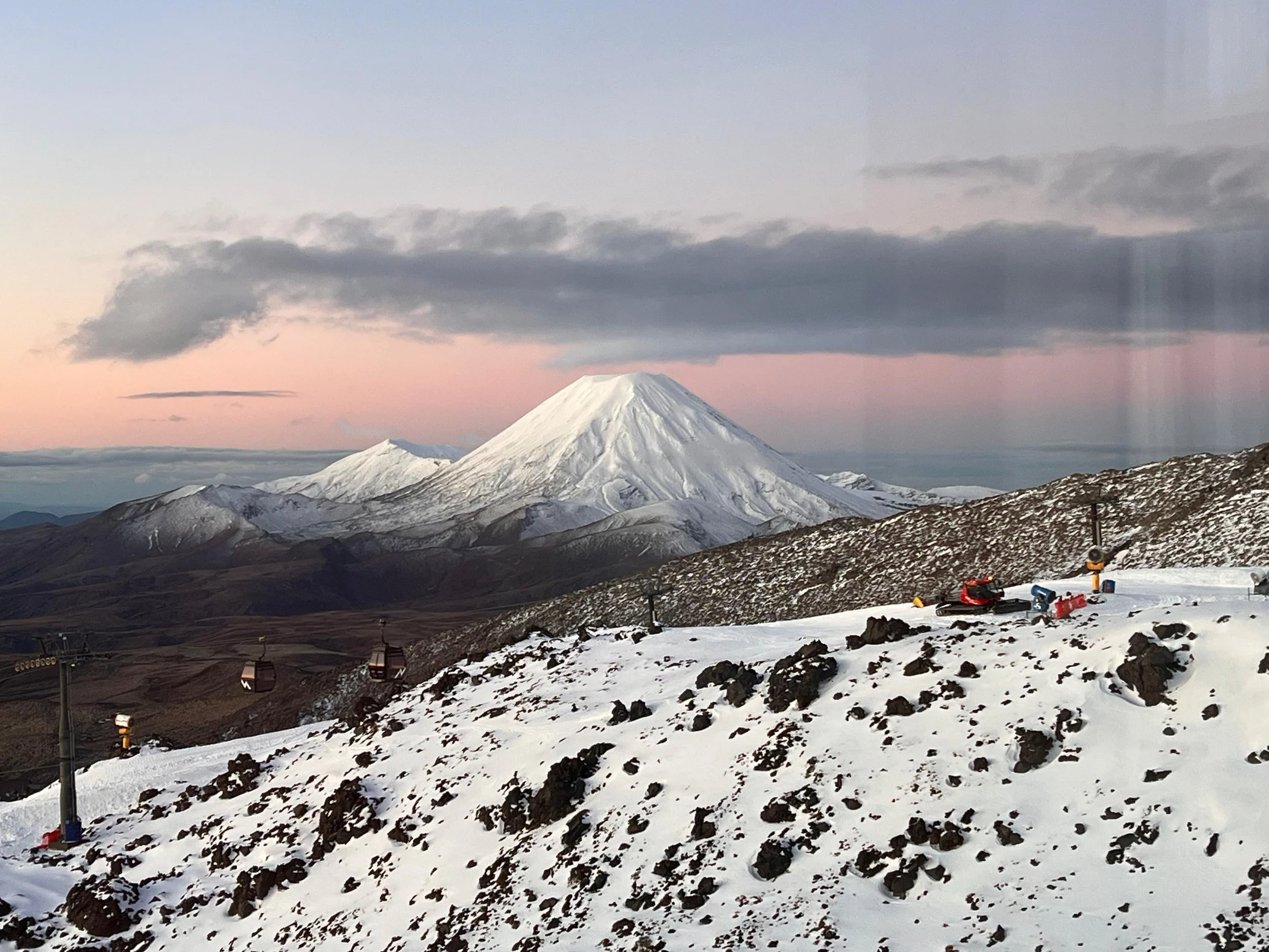
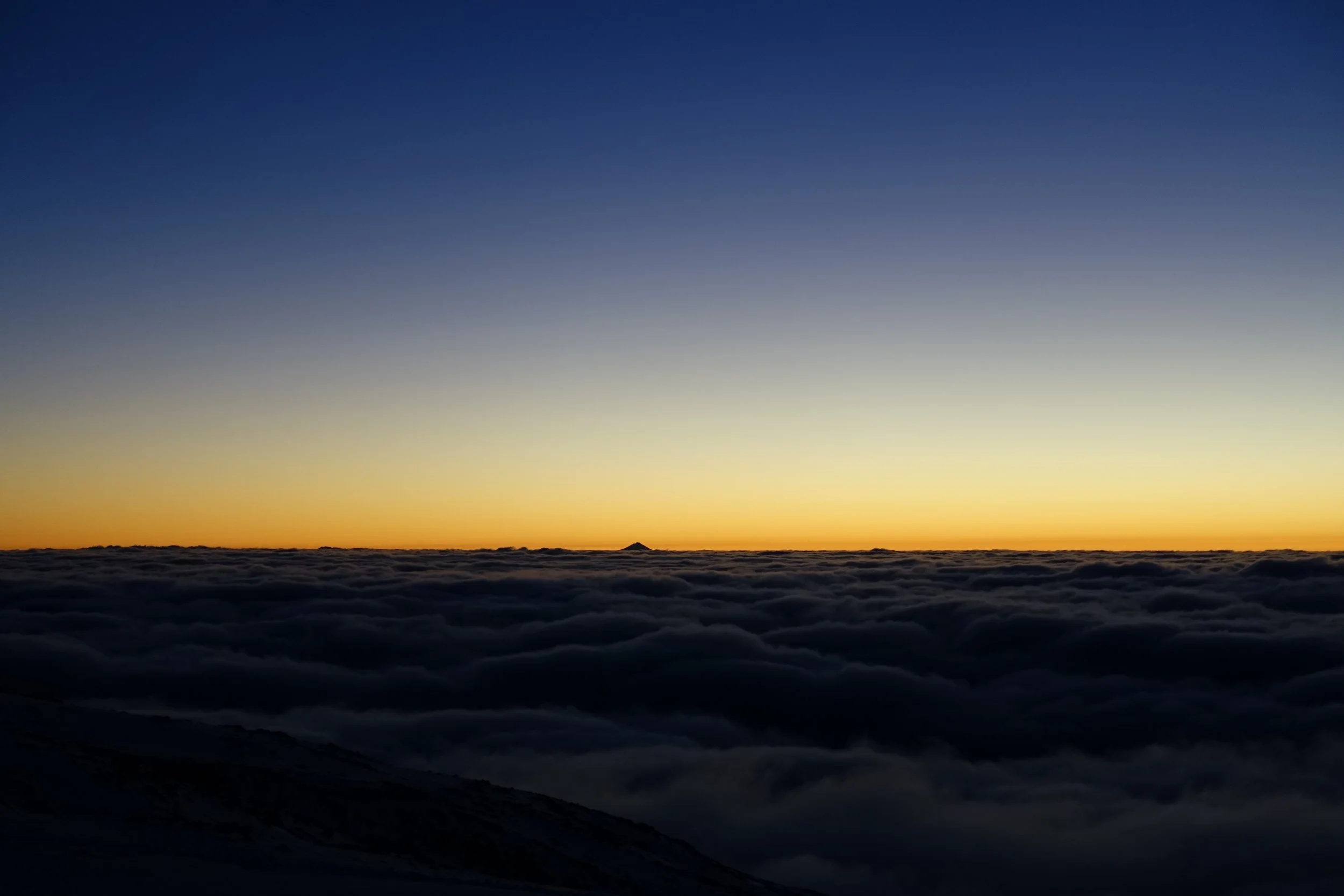
Sunset cloud inversion looking at Taranaki from Ruapehu
Jon’s photos
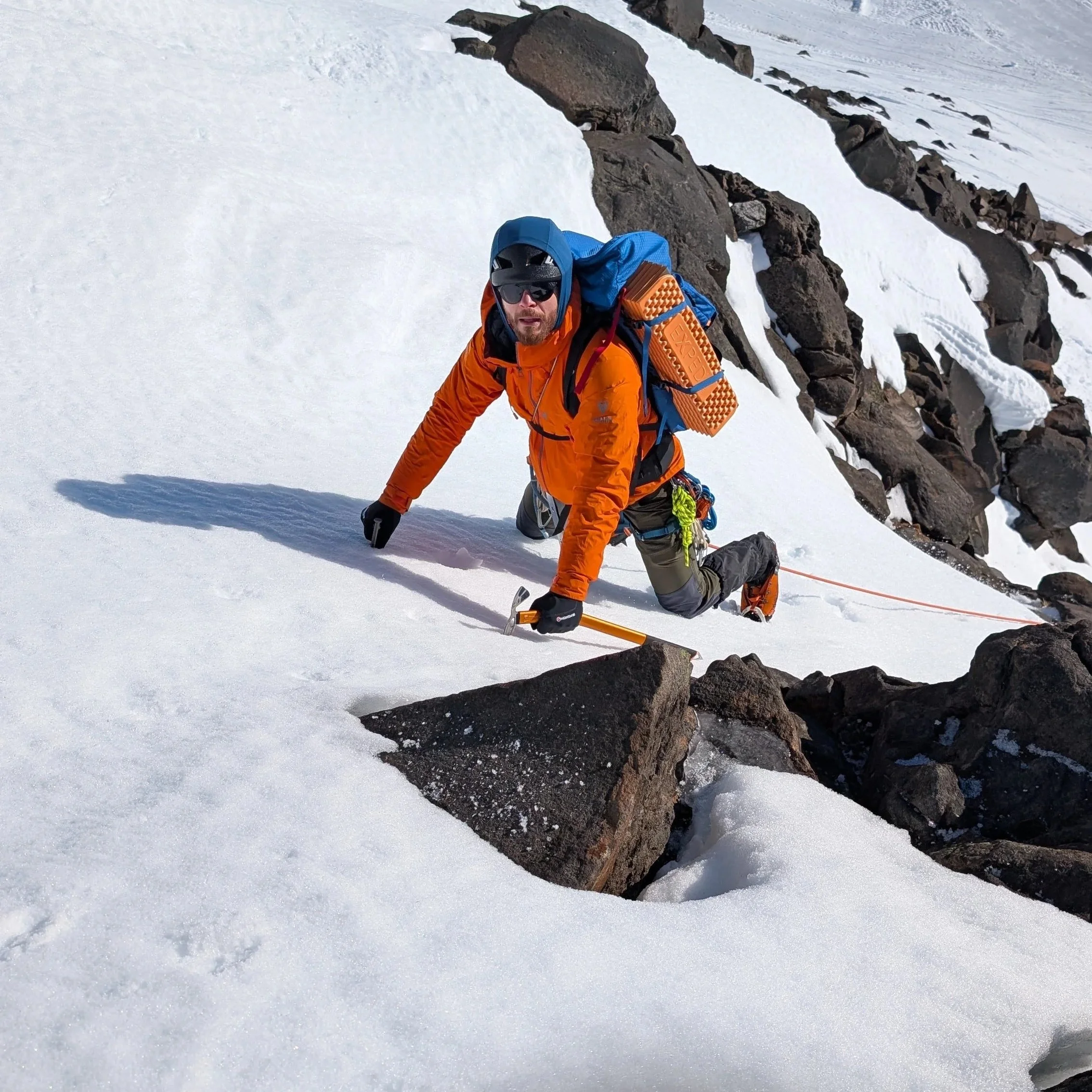
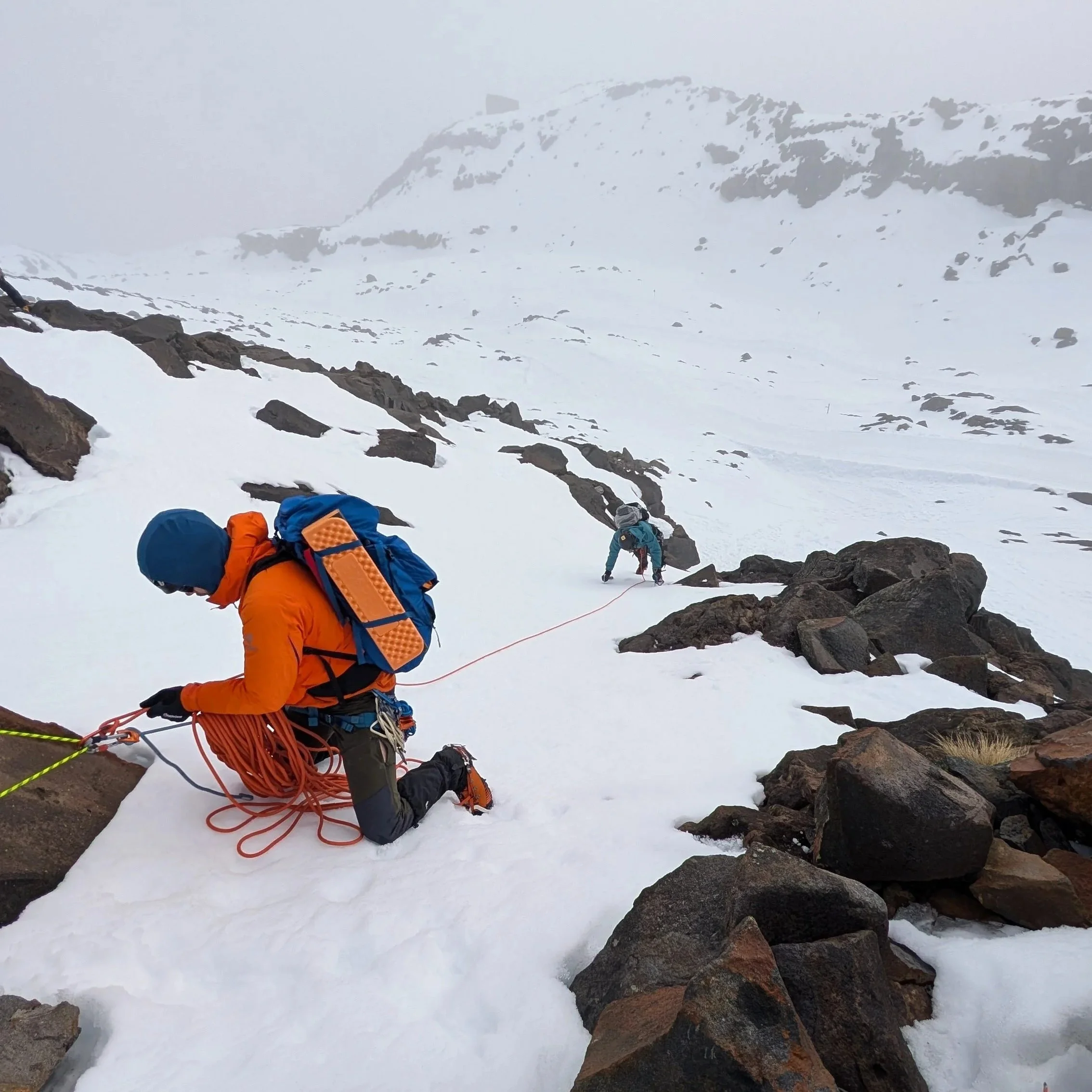
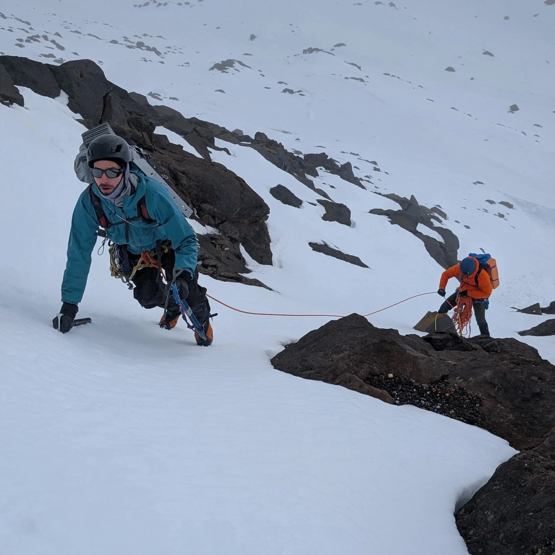
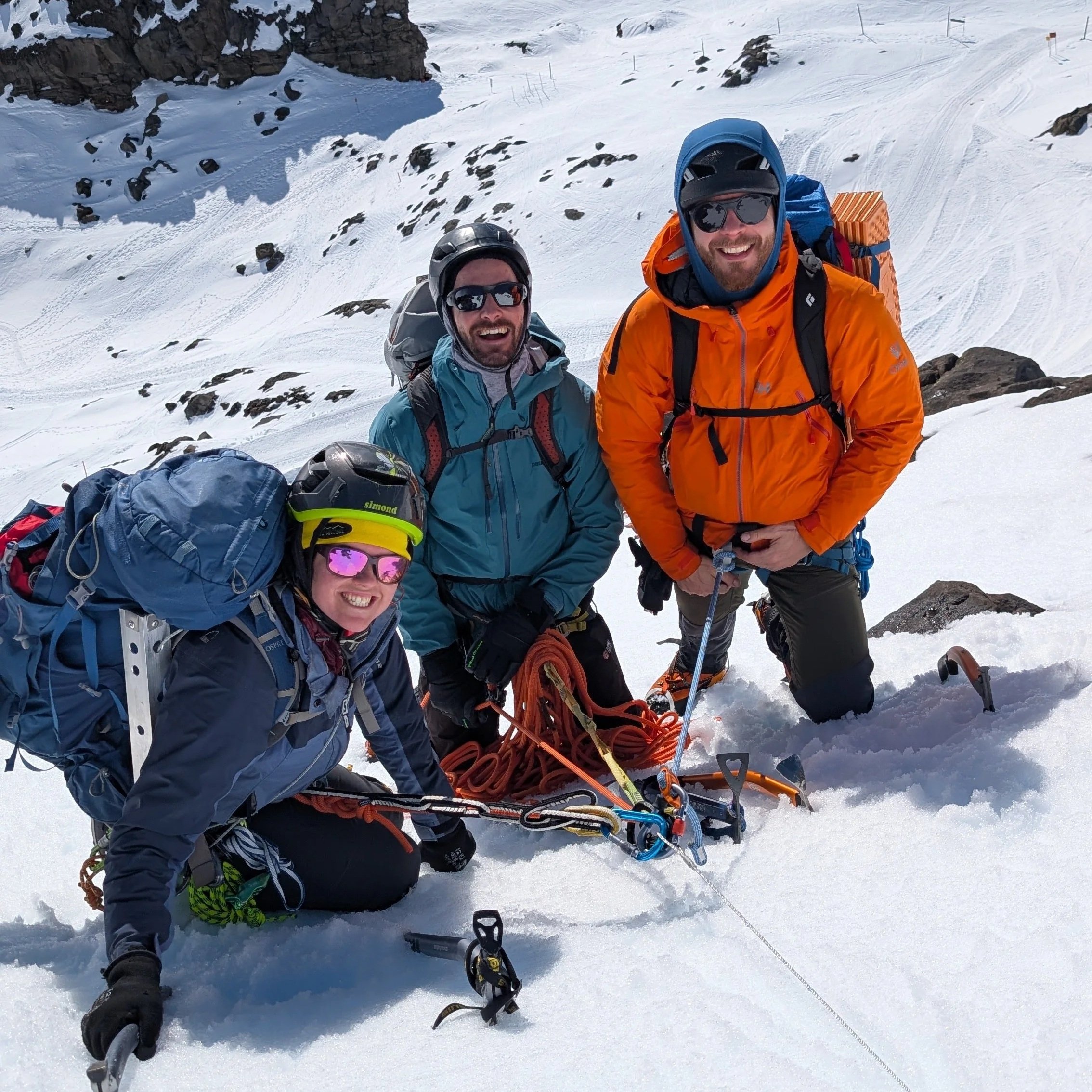
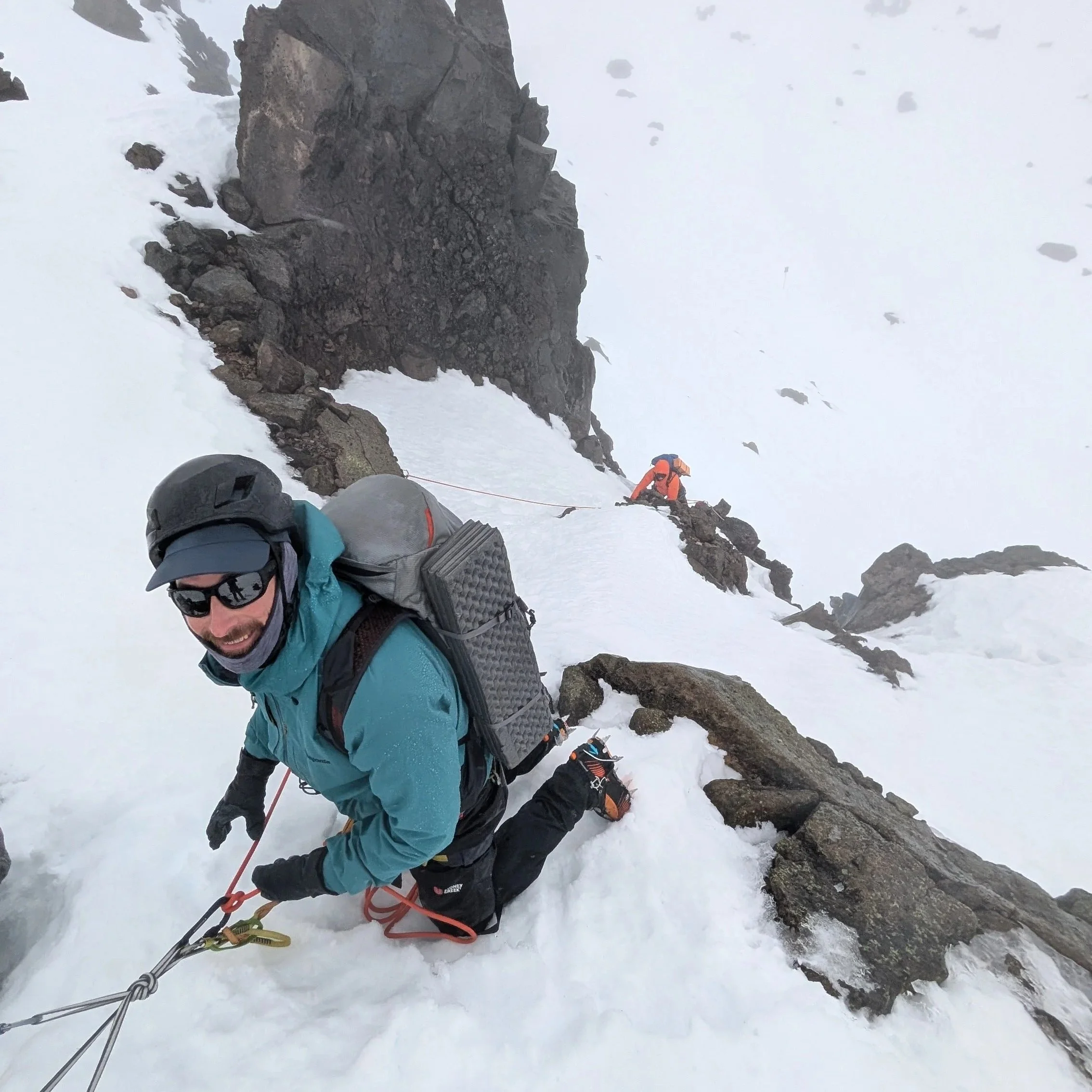
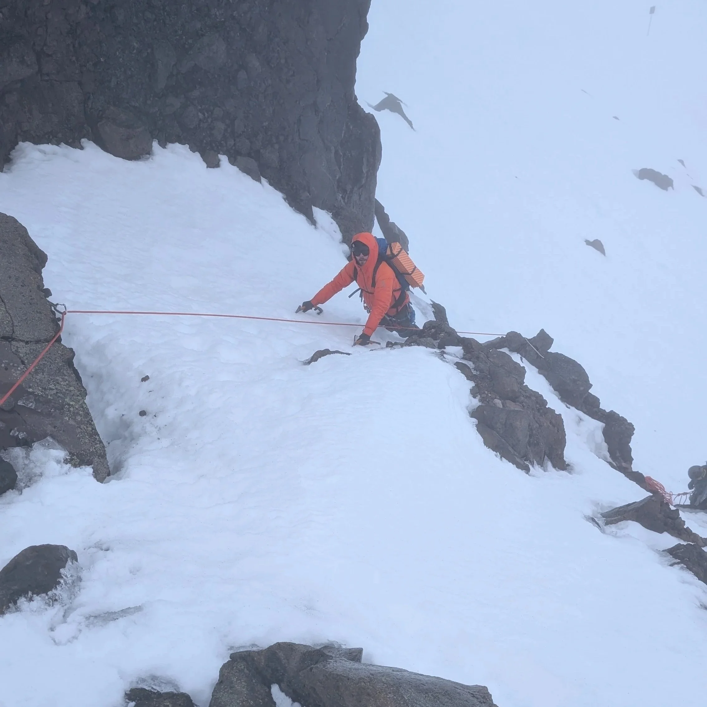
Girdlestone Peak 2658m
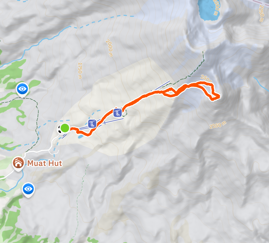
South Face. 8.5 km | 1267 m+ | 11 hours
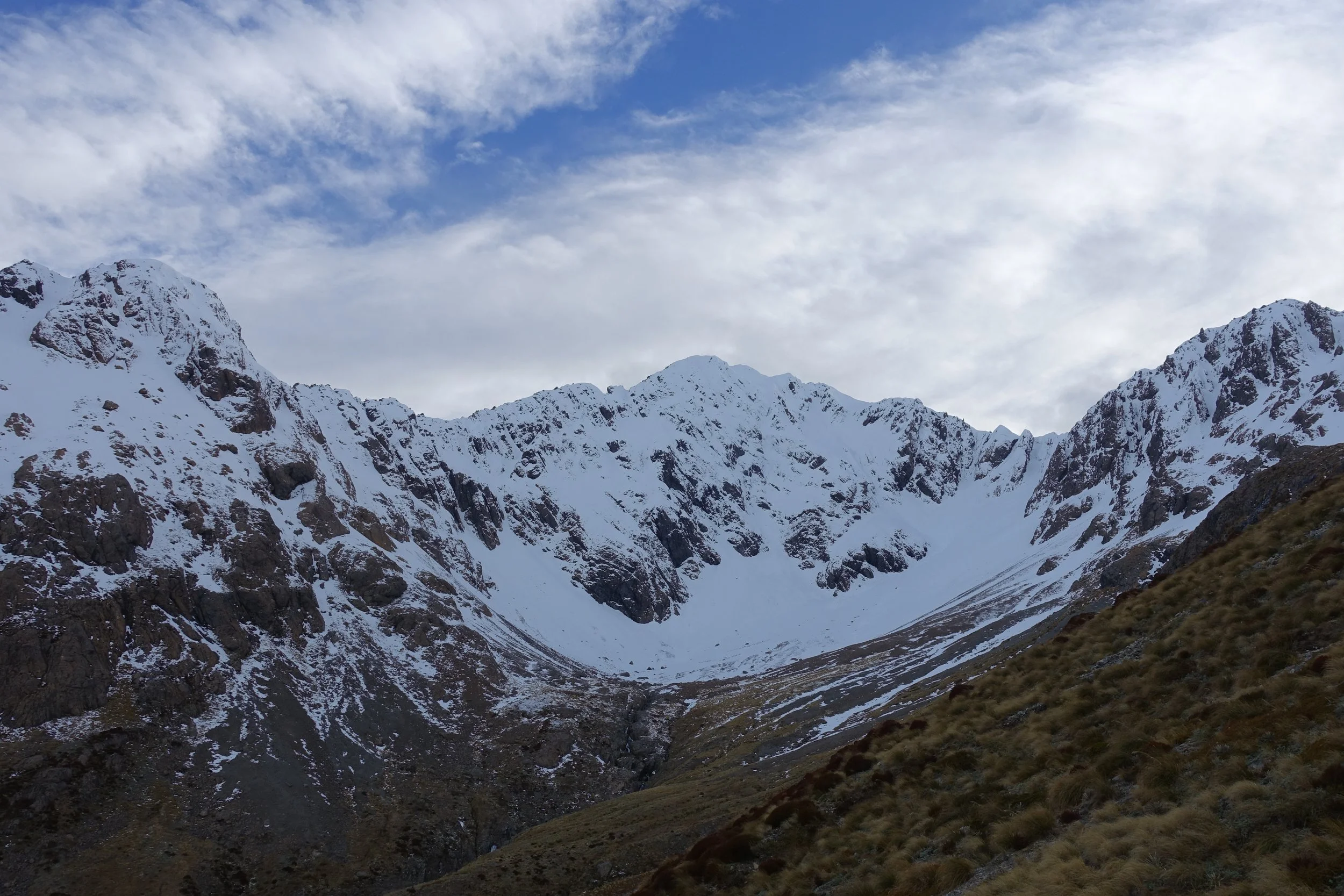
Girdlestone Peak is a 2,658-meter summit located at the south-eastern end of the Mt Ruapehu massif.
Girdlestone sits high and isolated at the south-eastern end of the massif. It has the most peak-like countenance; reasonably steep on all sides and with a range of routes to choose from.
Grade 2 route.
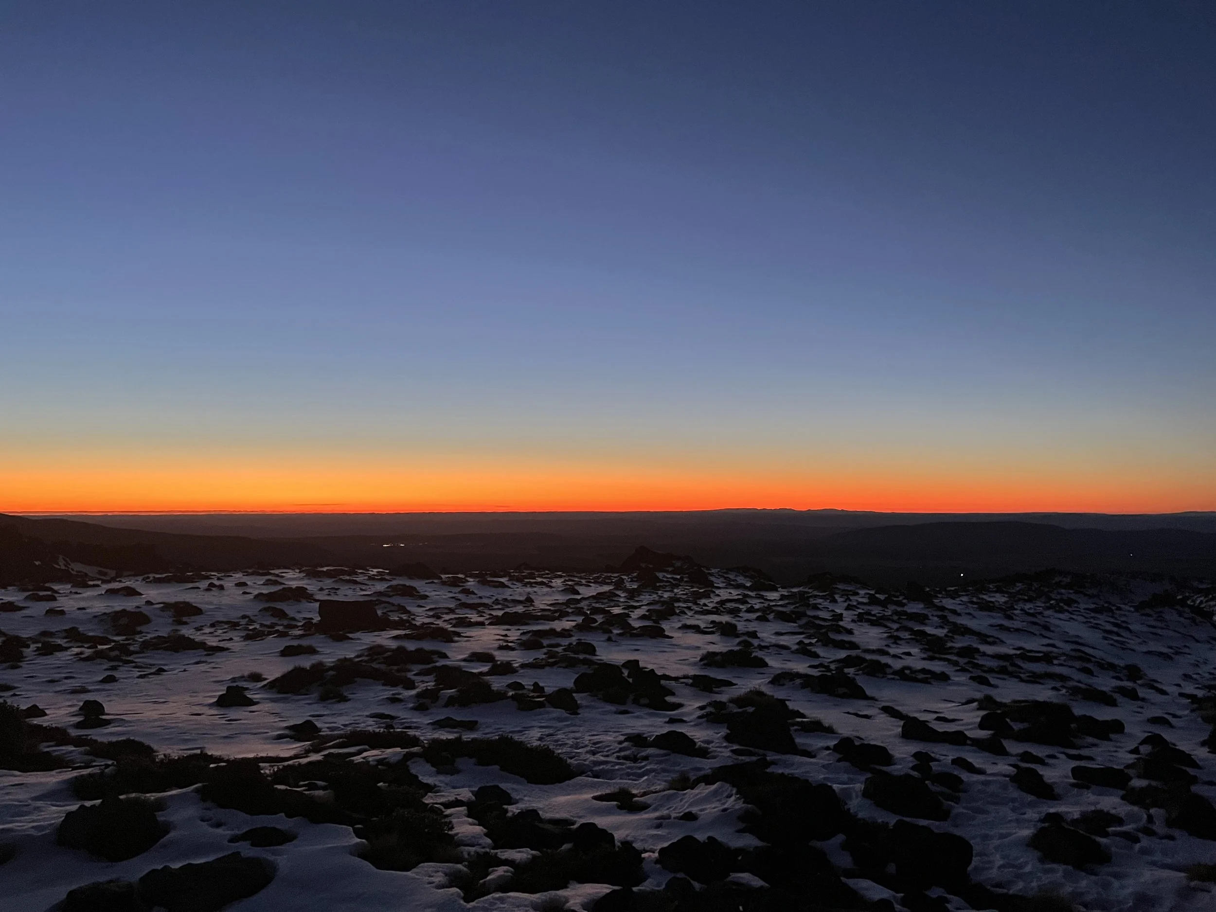
Decent early start from the car park with a cloud inversion and bright skies. Overnight in Ohakune and a nice easy drive up the south side of Ruapehu. My first time coming up this side.
Walk up through the ski field and track right towards G
Traverse across the glacier looking up at our route options - we’re looking for the grade 2 south face options.
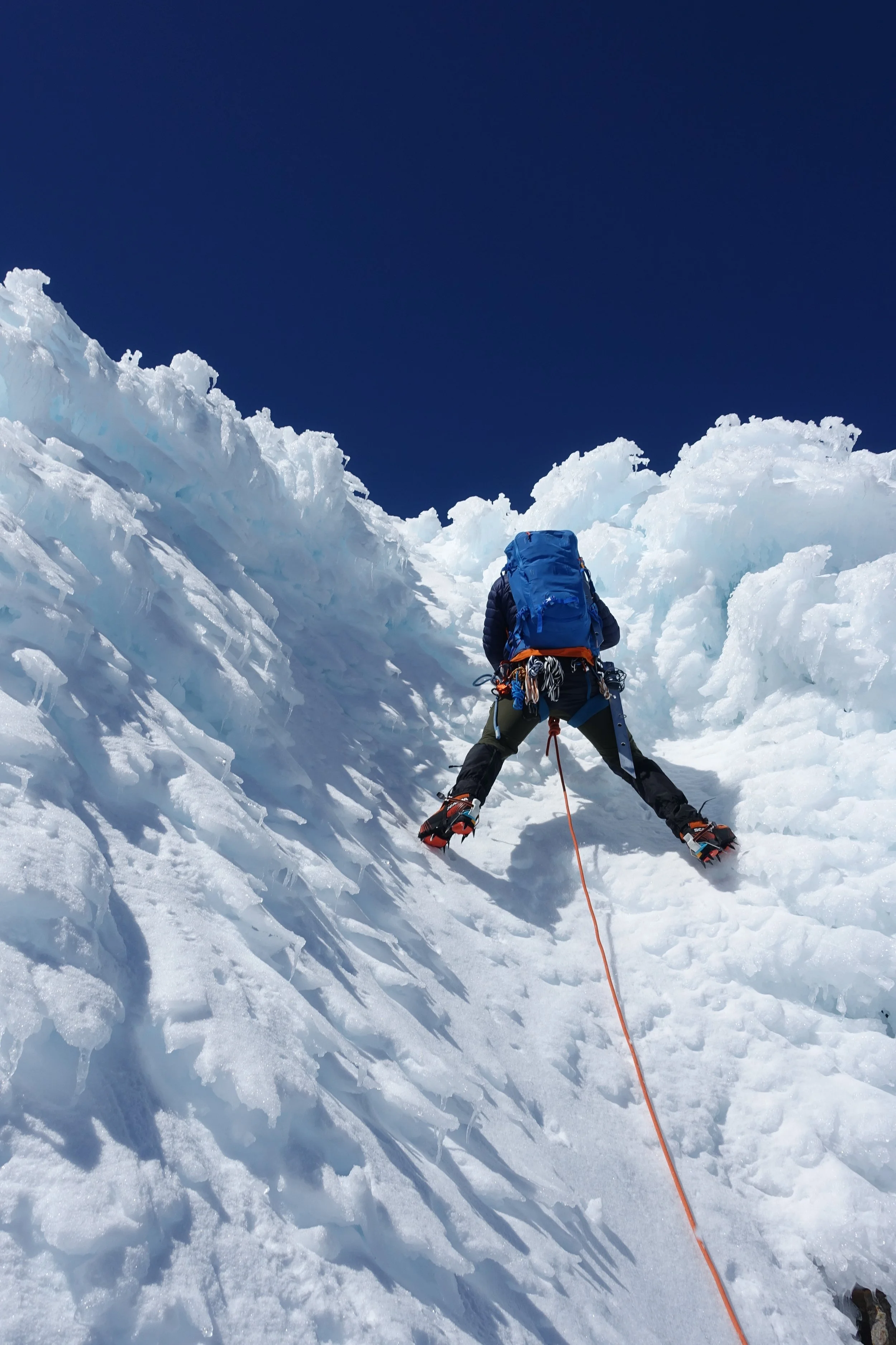
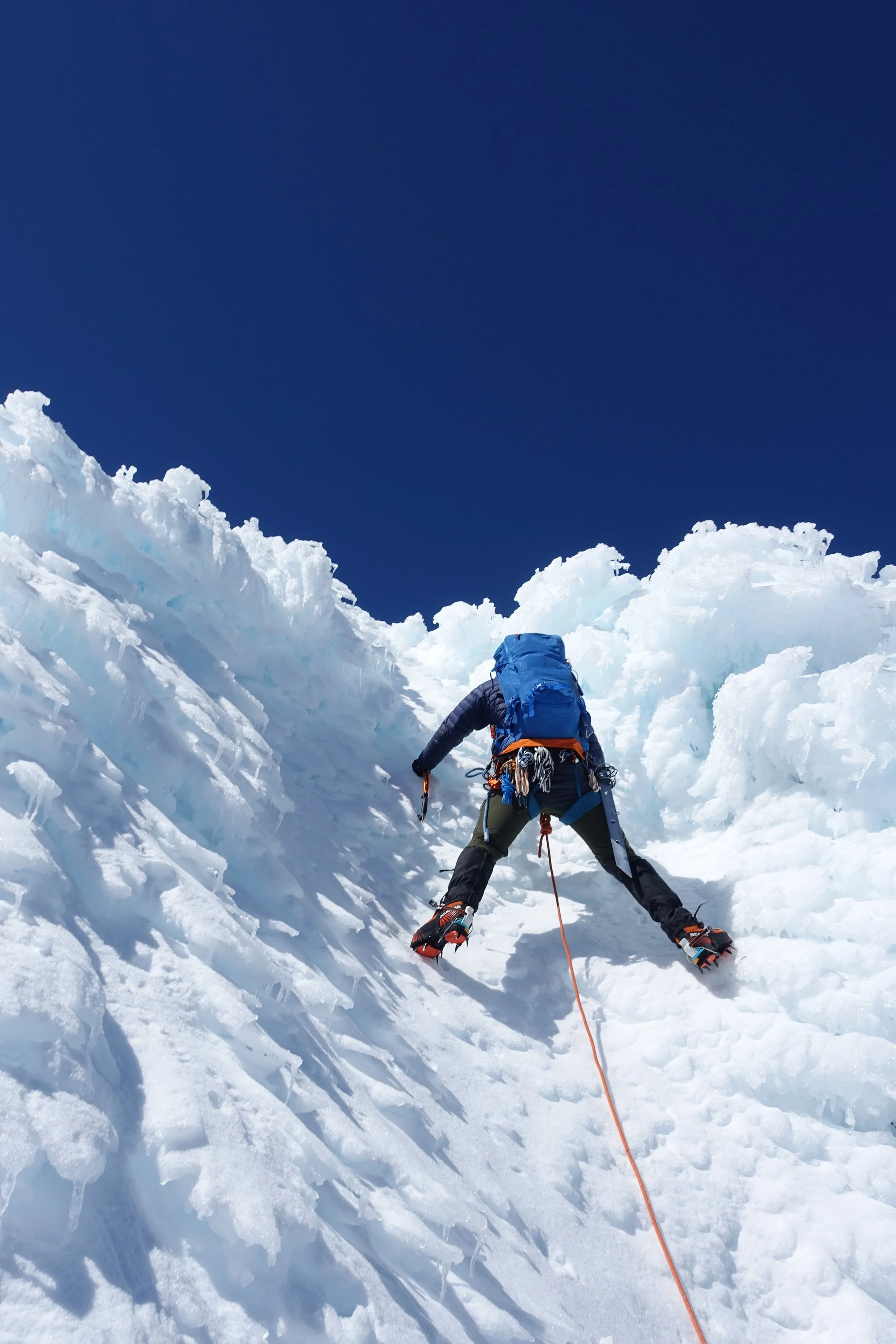
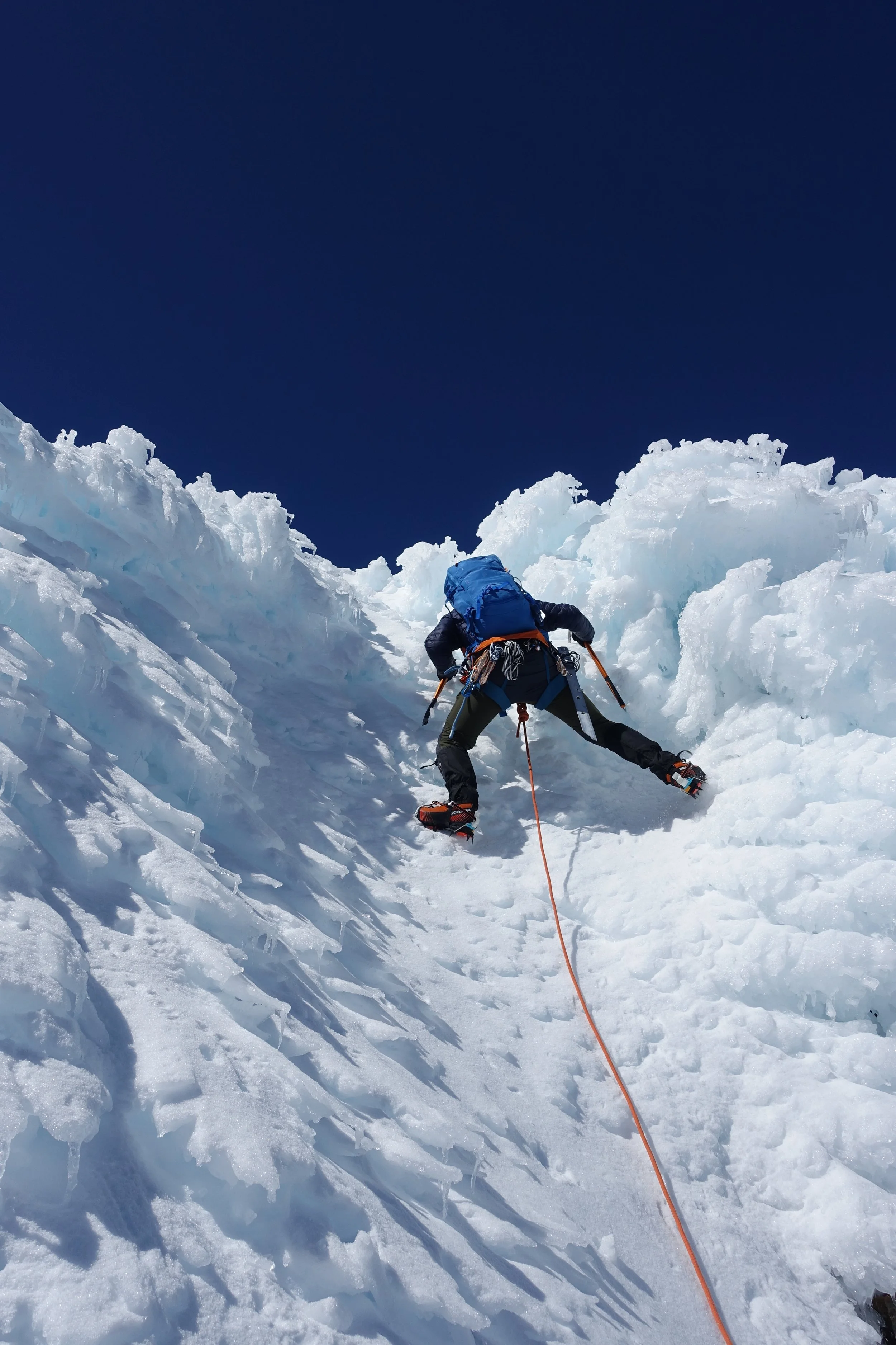
South face It’s in the shade still and setting up for our first pitch it was cold
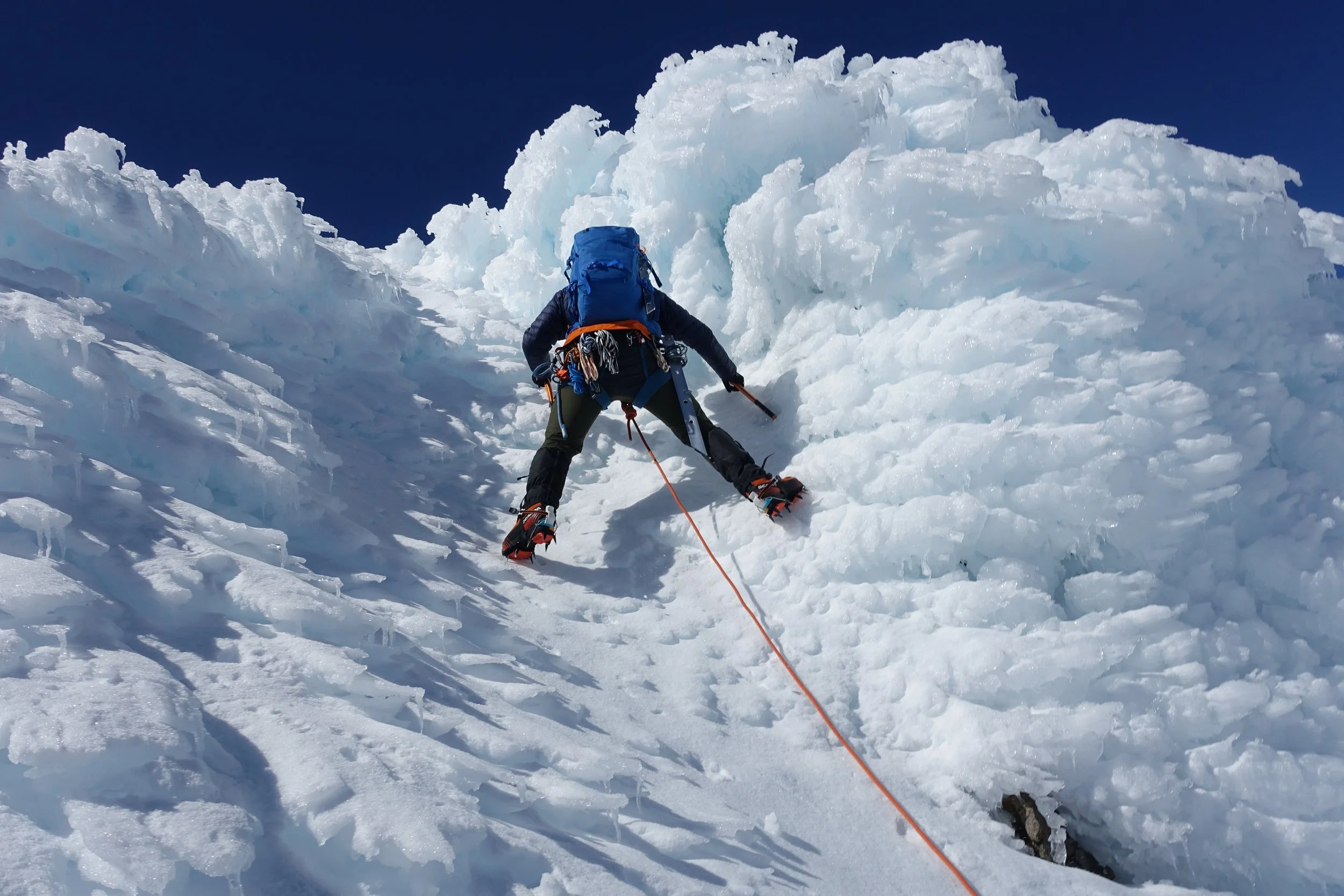
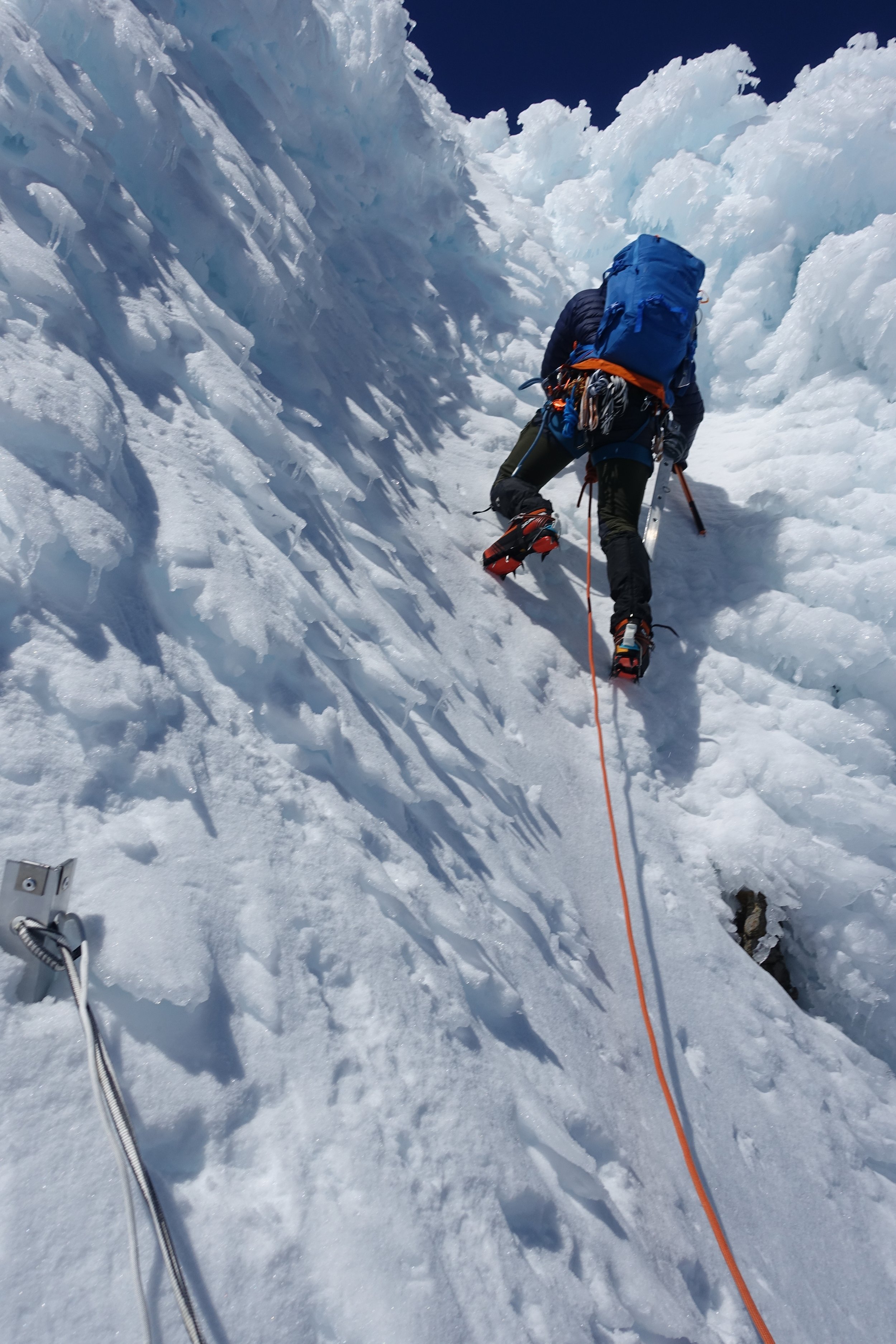
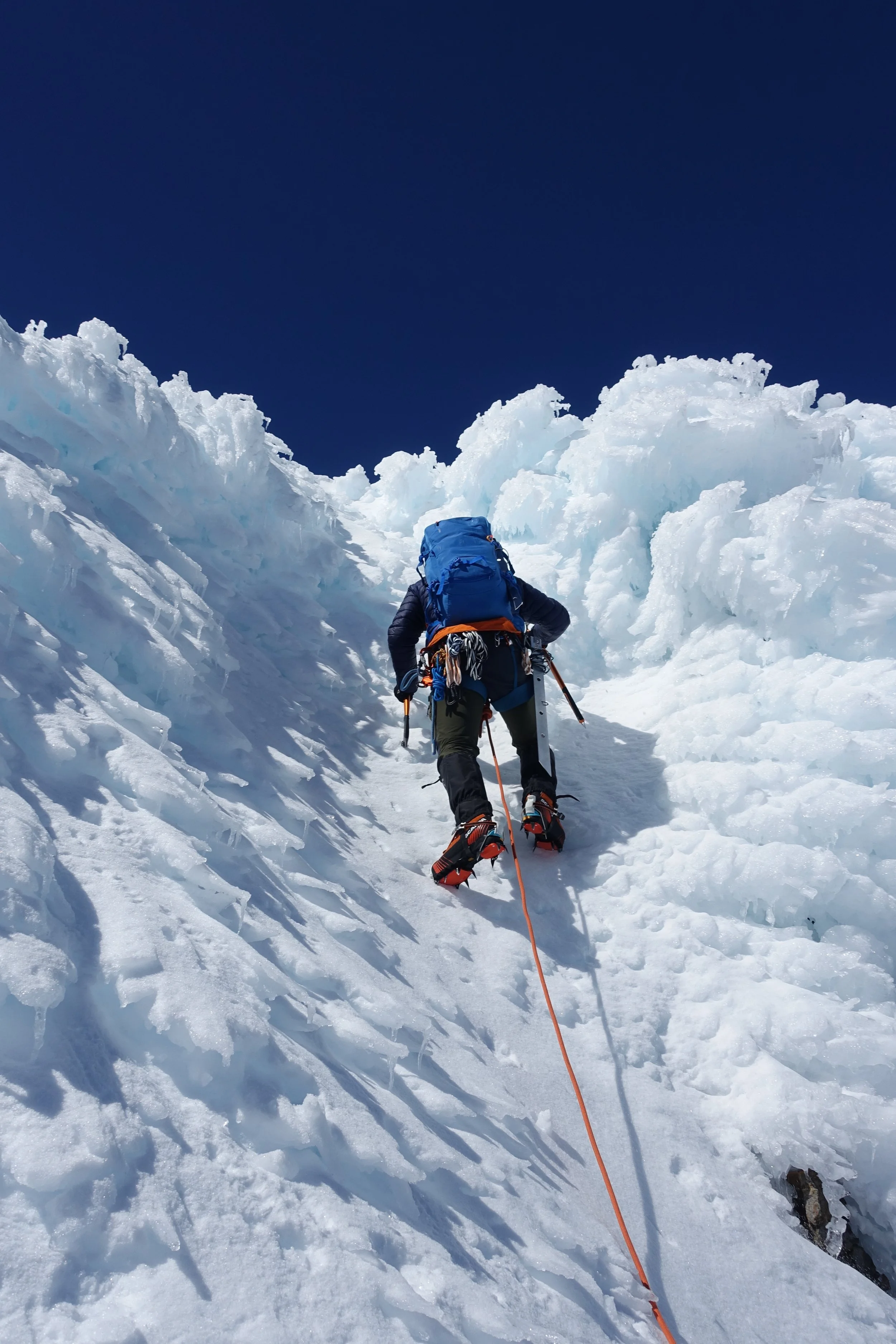
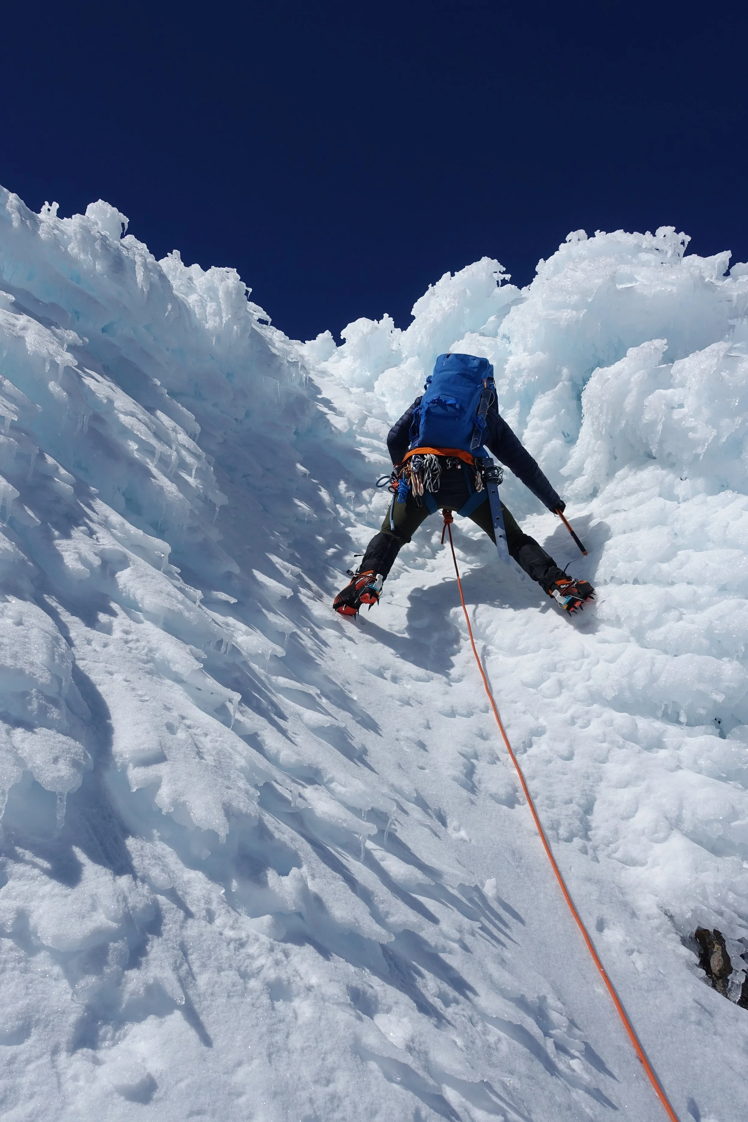
Hard and icy but enough purchase to keep moving relatively quickly. Tiring though.
Pitches started to take us a bit more time and the morning slipped away. We were at least now in the sun though.
Trying to keep moving I neglected to eat and drink enough.
Smashing in anchors was also tiring and took a long time.
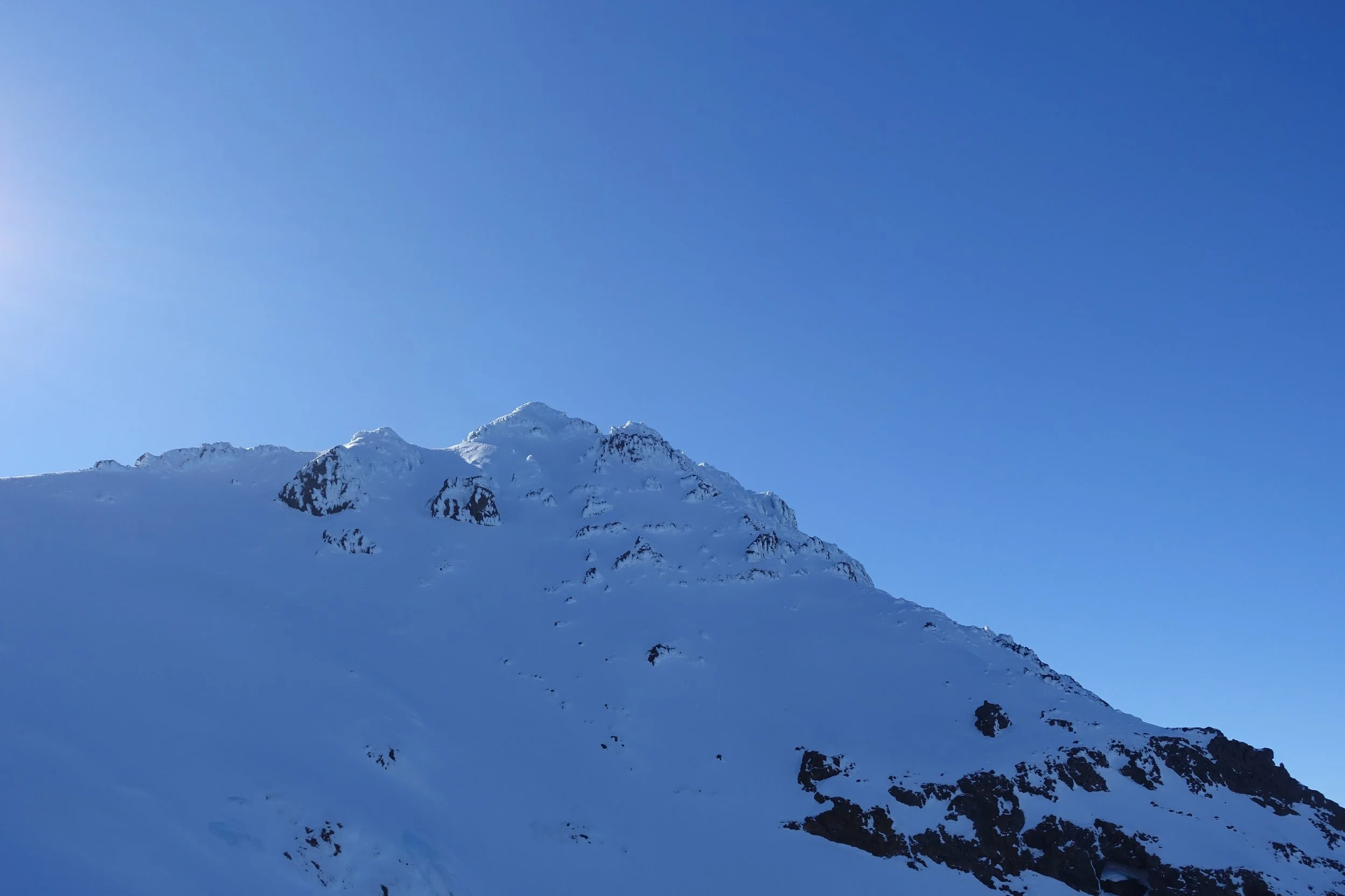
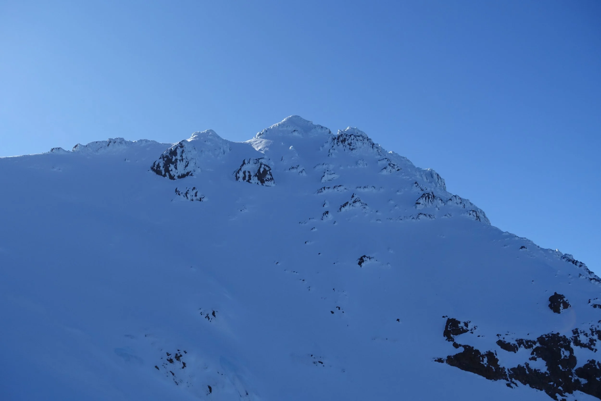
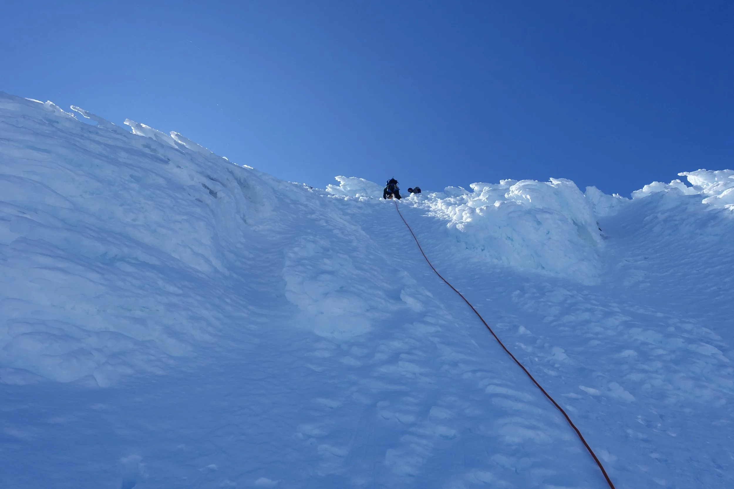
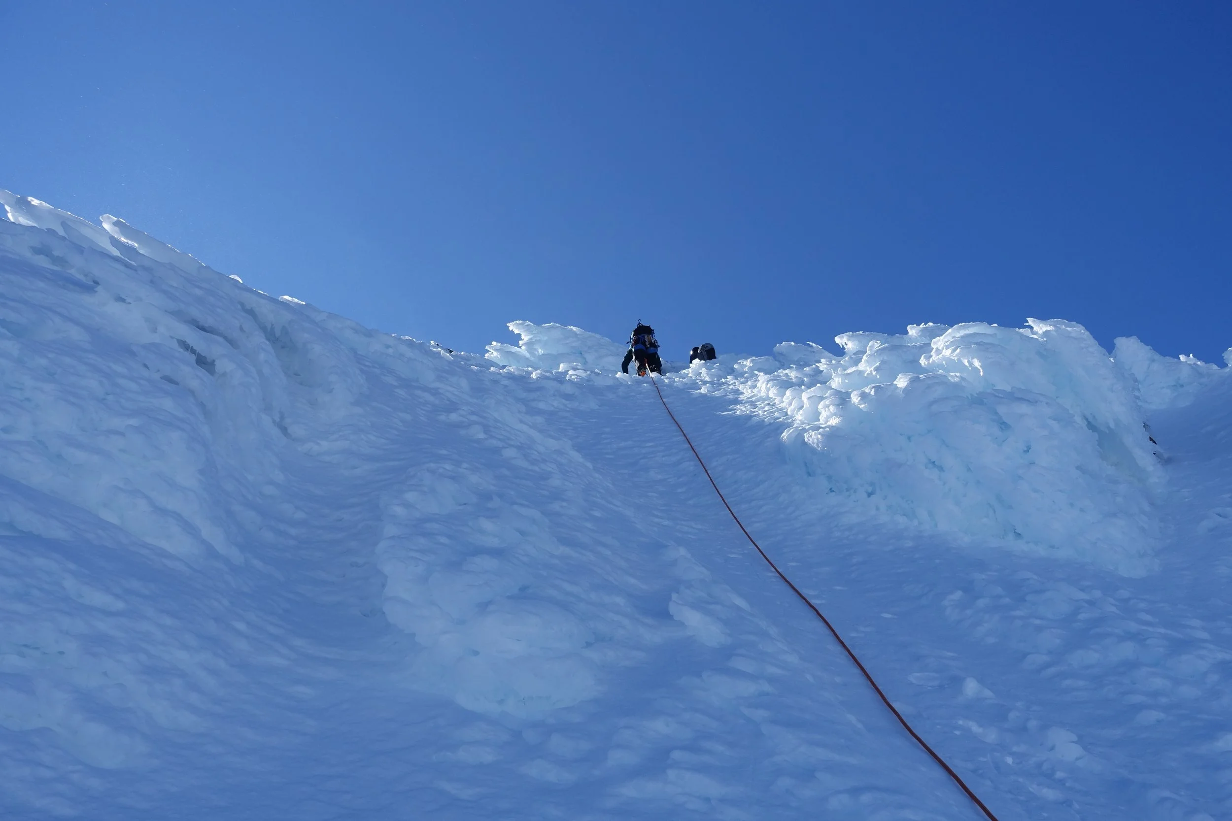
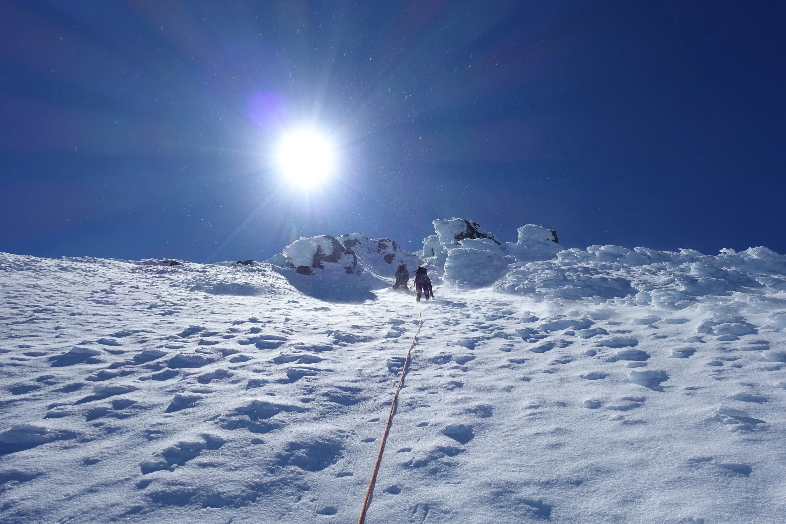
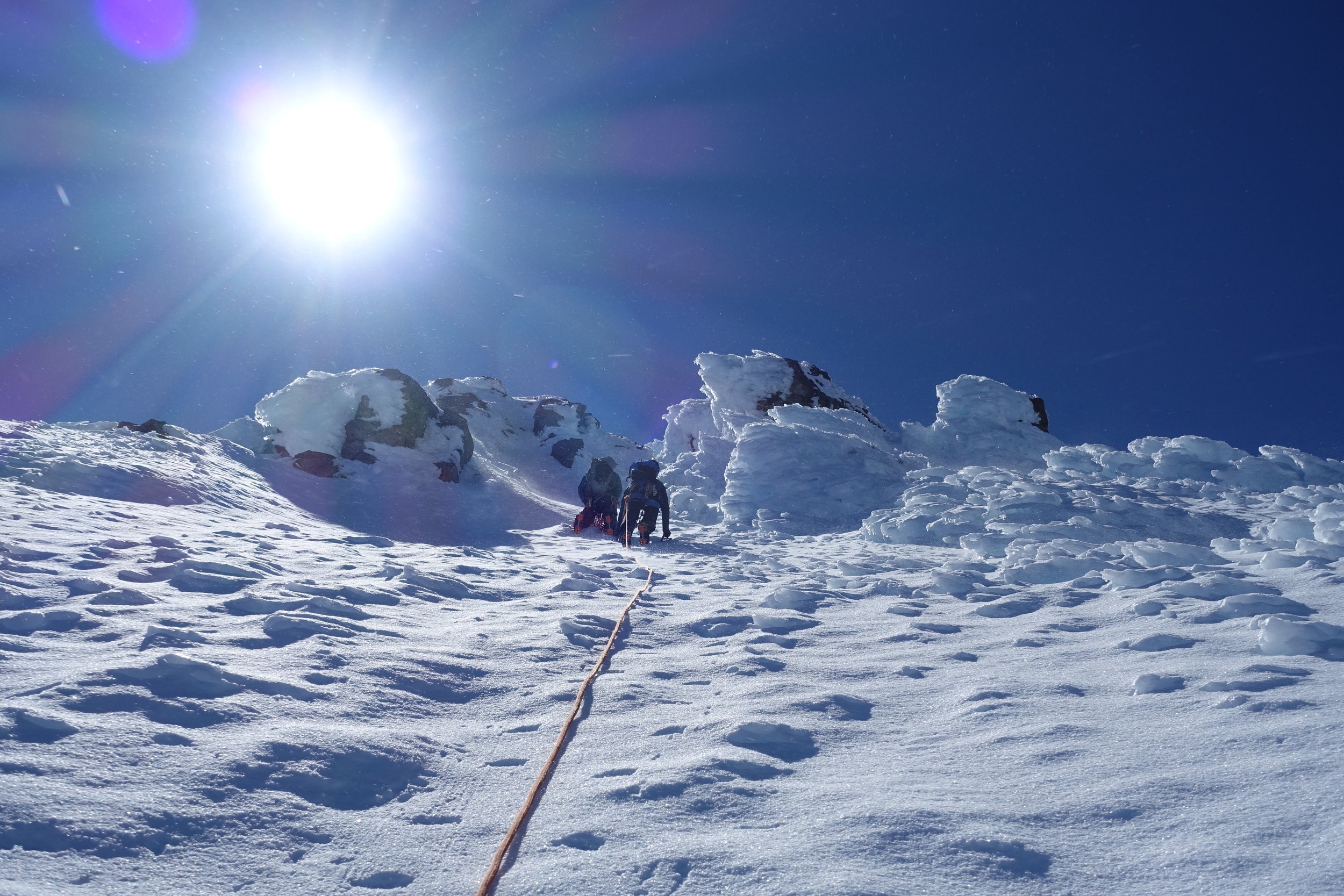
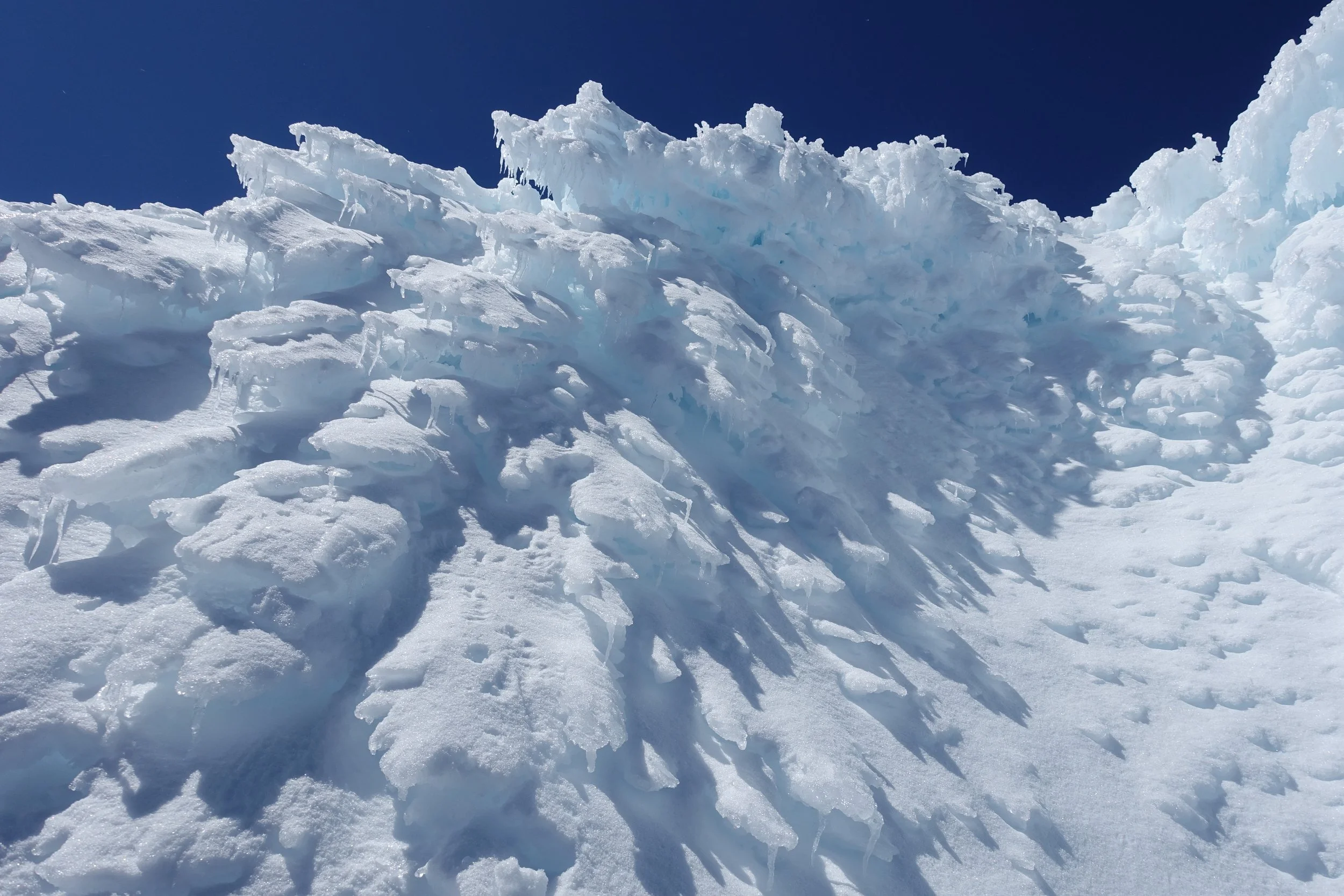
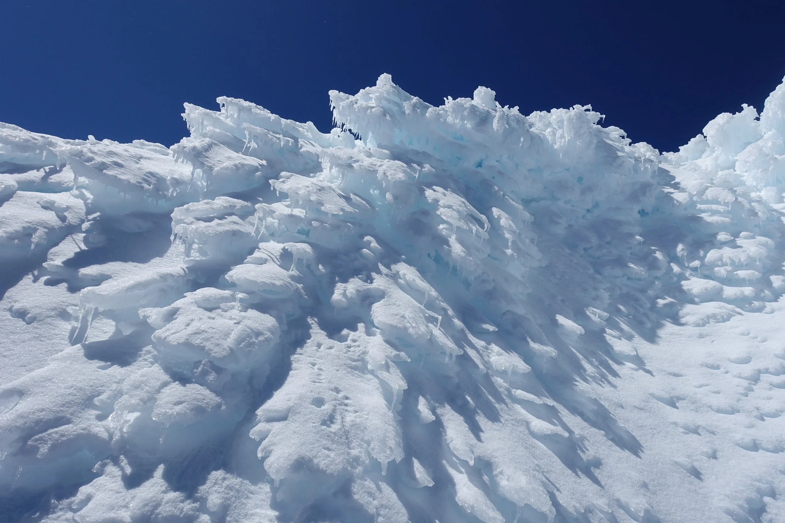
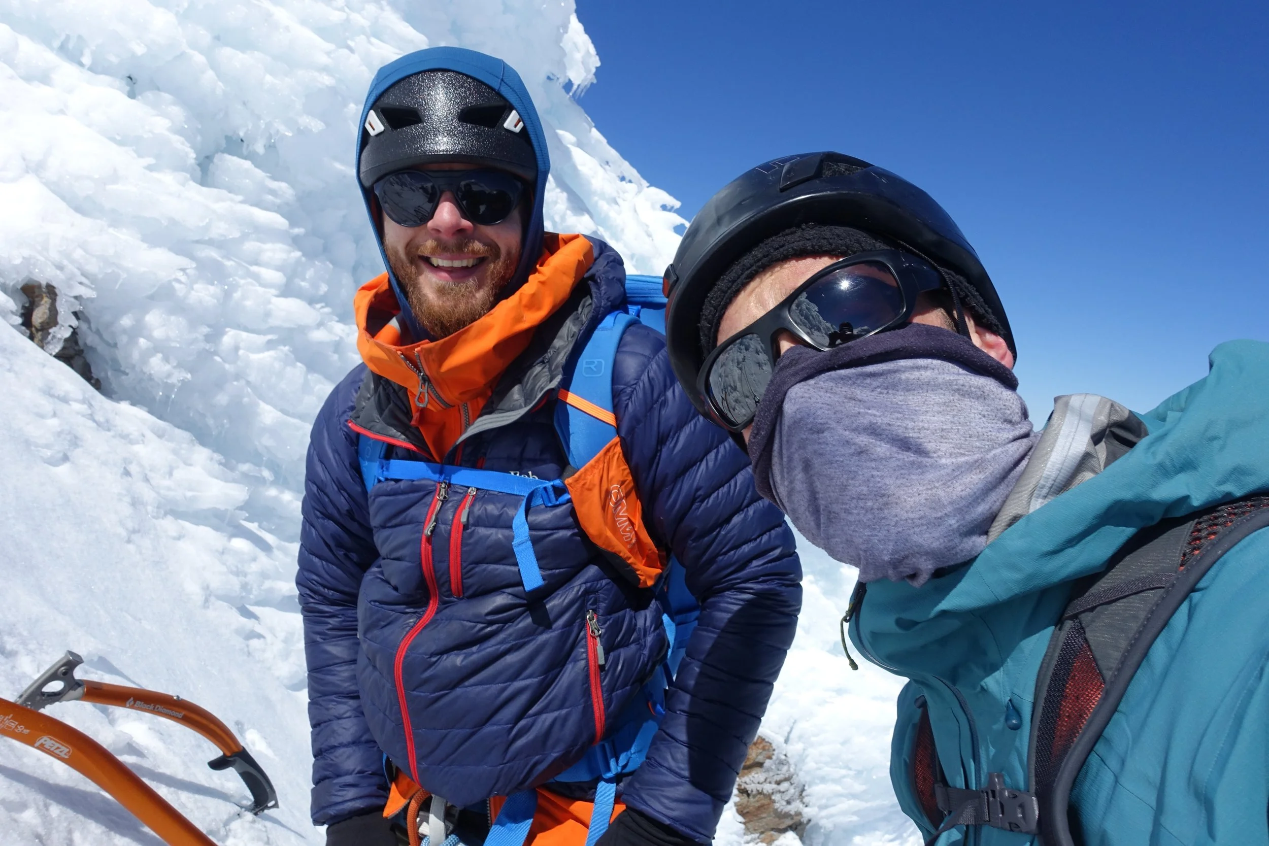
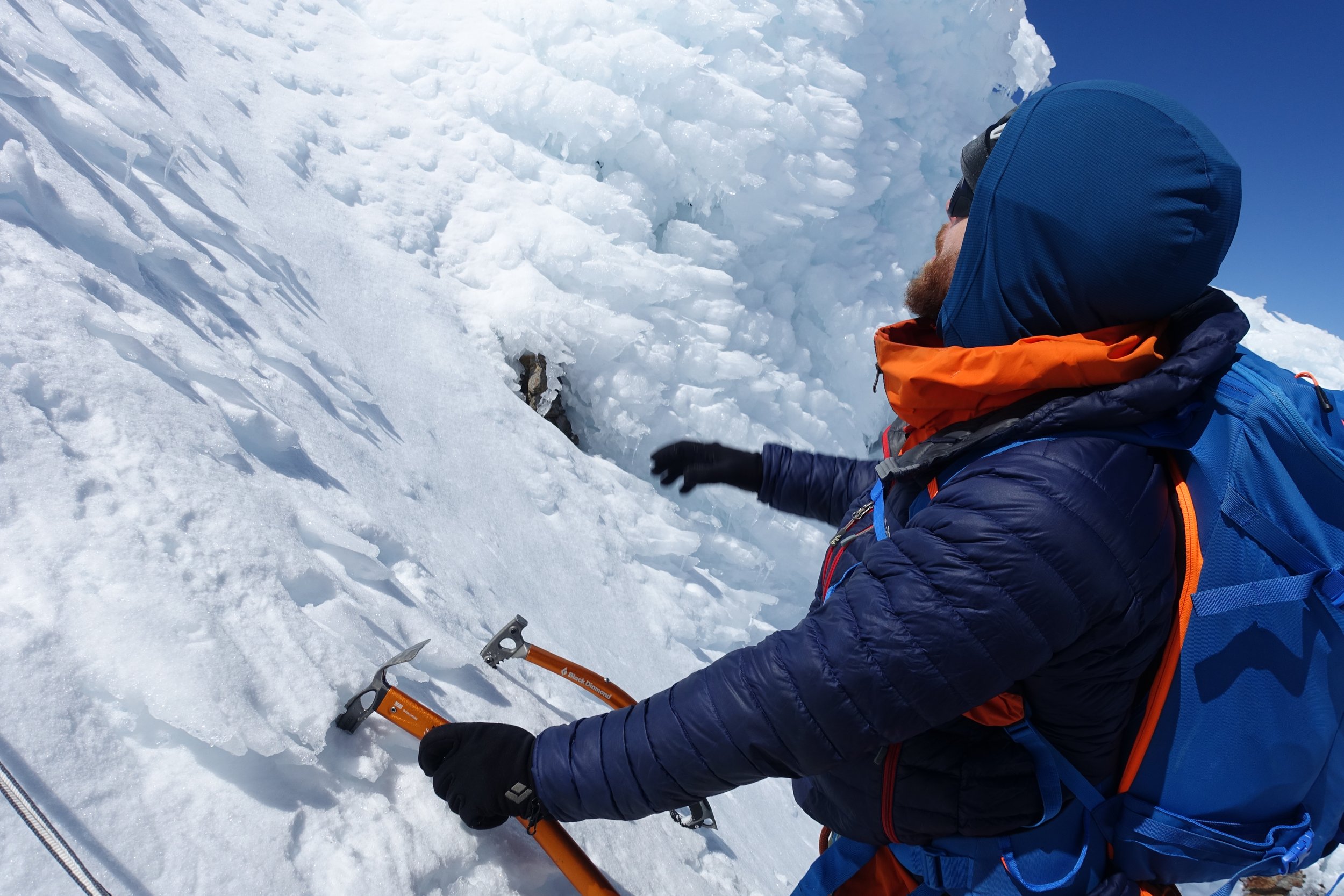
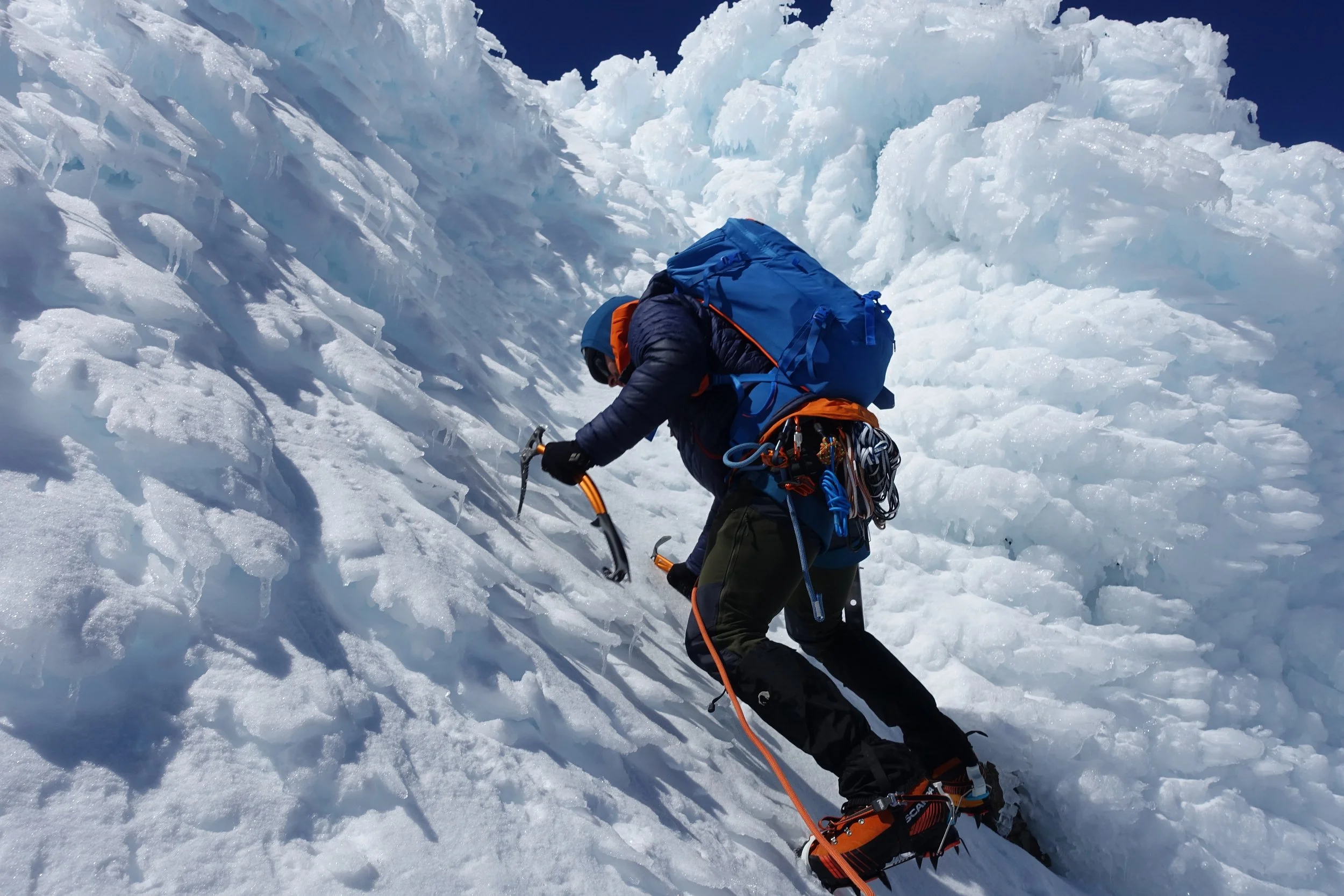
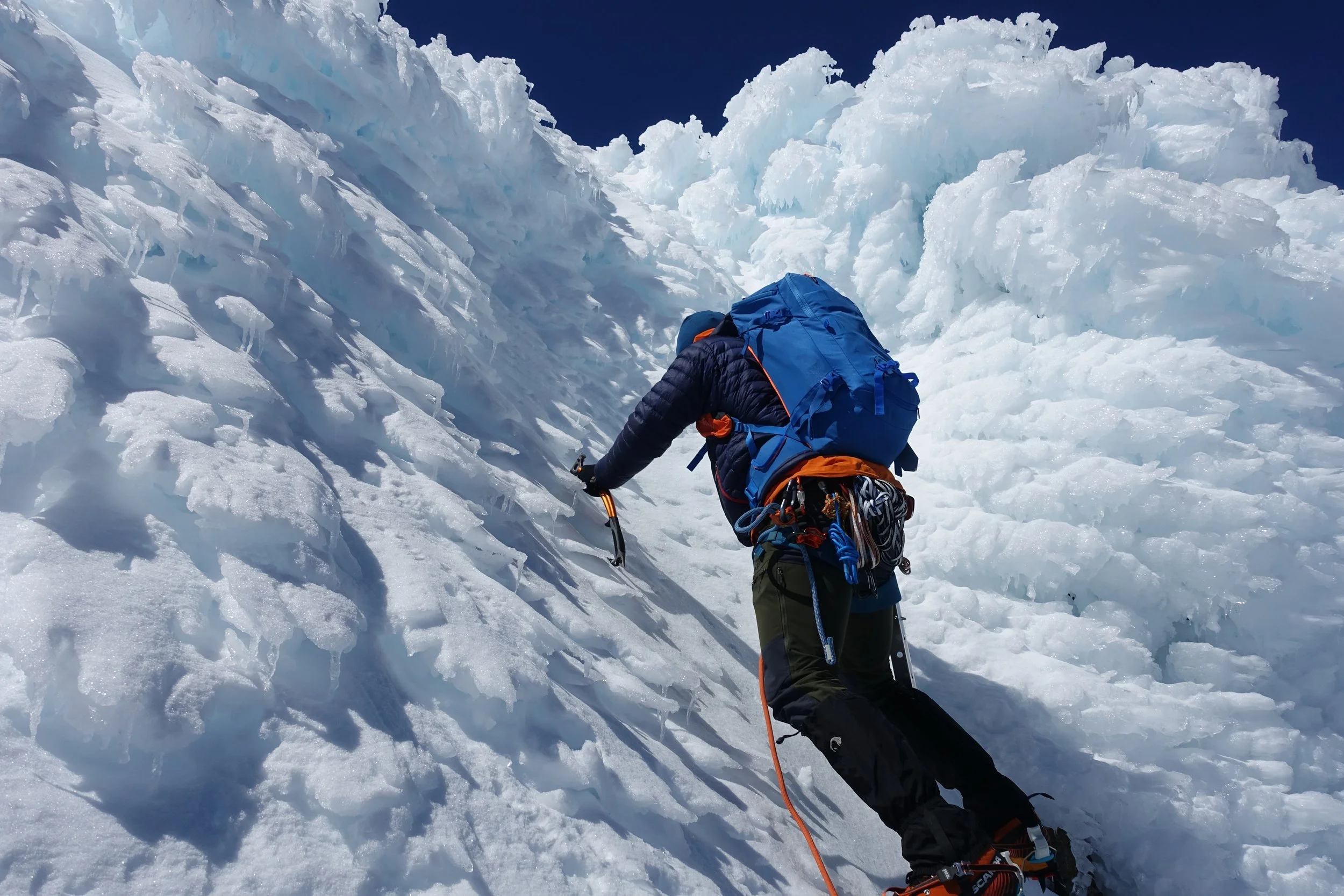
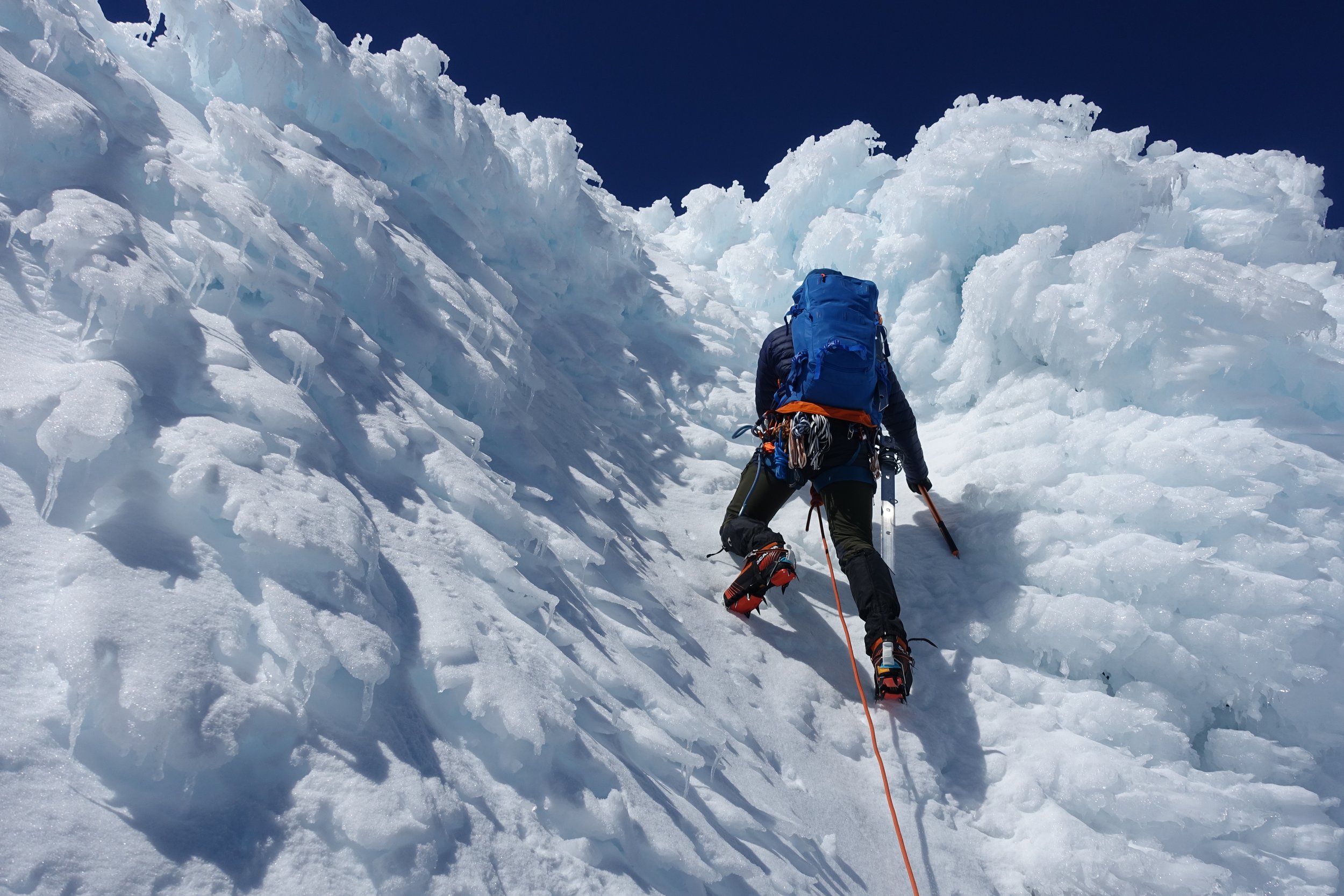
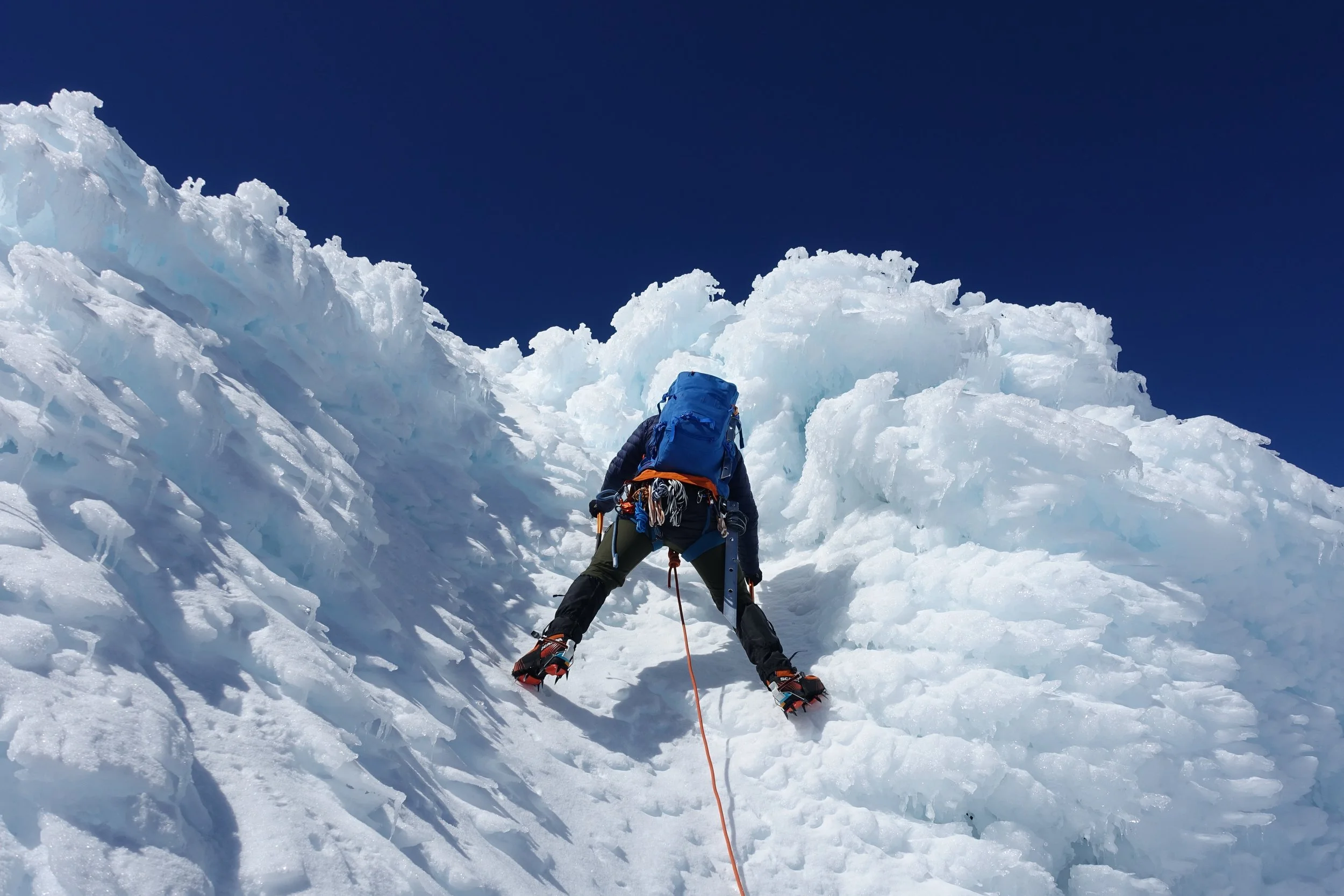
A bag of sweets in my pocket kept the blood sugar up. and I would need it.
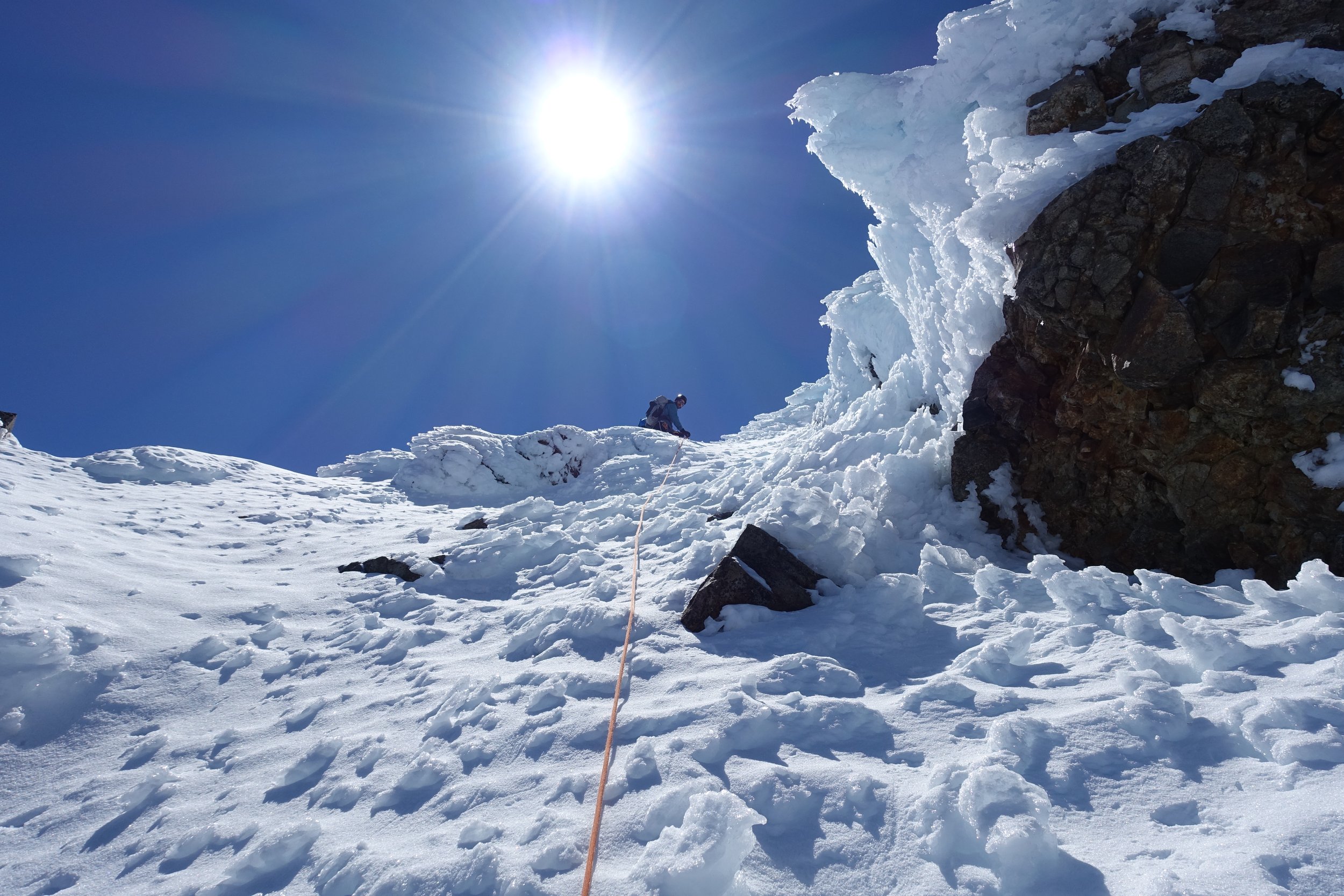
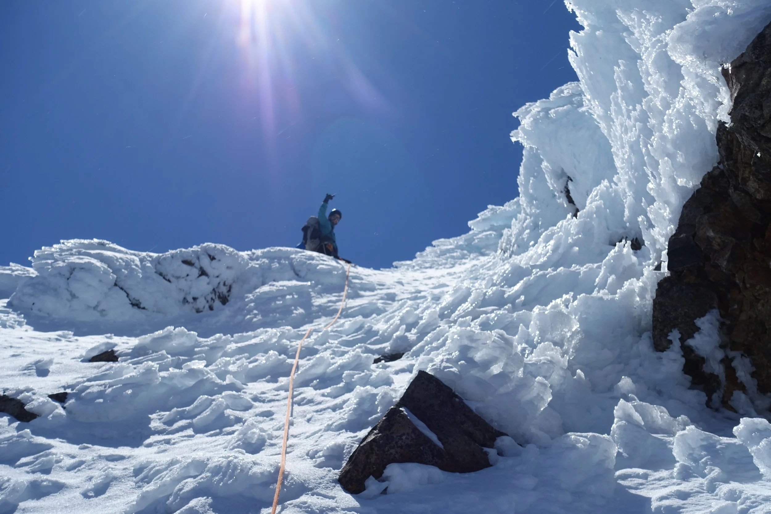
I lead quite a steep pitch and then on in to a gully of ice. Very cool.
Topped out on a ledge which we though would be close or the actual summit. Then as I crested the ledge I looked up the see the summit. It looked far away and it was now nearly 2pm.
We decided to head down. It had take us seven hours to get here and looking up none of us had another couple of hours in us, and it was late in the day.
We began the downclimb and traversed out and blocks of ice came flying down beside us
Long walk out. Body was tired and sore.
It was now 5pm and we just got back to the ski field. Another hour long walk down to the car. Five hour walk out! My knees were killing me. I dropped my trousers in the car park and both knees were bruised and swollen.
The day went quickly and our progress was surprisingly slow.
Main lessons were in rope management - flaking the rope at home and also before climbing to ensue you can use it easily when you need to on the mountain. Also travel in cars you’re climbing in so you can drive back together.
Tracks
Further info
Useful links: climbnz.org.nz, alpineclub.org.nz, mtruapehu.com, tukino.org, egmont.co.nz, taranakialpineclub.co.nz, tukino.nz.
Related reading:
- Rock Deluxe North, NZAC Guidebooks
- Tongariro: A Guide for Climbers and Ski-Mountaineers, Richard Thomson
- Taranaki/Mount Egmont: A Guide for Climbers, Ross Eden
- What Could Possibly Go Wrong?, Mark Sedon
- A Fine Line: Searching for Balance Among Mountains, Graham Zimmerman
Continue exploring









Climb
28 Oct 2026